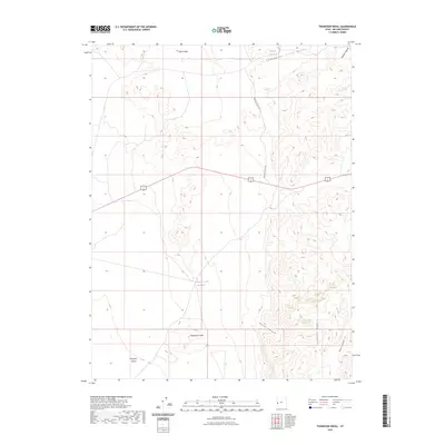
2023 Map of Thompson Knoll
USGS Topo · Published 2023About this map
Ferguson Desert defines the western expanse of this Millard County landscape, meeting the rising elevations of the Confusion Range to the southeast. The geography is characterized by distinct desert basins and canyons, including Boobs Canyon and Road Canyon, which provide natural drainage routes through the high ground. Water management in this arid environment is evidenced by the Thompson Knoll Reservoir and Conger Reservoir, essential landmarks for local ranching or historical land use.
Find a feature on this map
12 named features on this map. Tap any name to fly to it.
Don’t see what you’re looking for? This feature index may not catch every label — zoom into the map to look around manually.
Map Details
Editions of this 2023 Thompson Knoll Map
This is the sole edition of this map. No revisions or reprints were ever made.
Other maps of this area

1908 · Fish Springs
USGS Topo · 1:250,000

1910 · Fish Springs
USGS Topo · 1:250,000

1953 · Richfield
USGS Topo · 1:250,000

1953 · Delta
USGS Topo · 1:250,000

1958 · Richfield
USGS Topo · 1:250,000

1958 · Delta
USGS Topo · 1:250,000

1960 · Conger Range
USGS Topo · 1:62,500

1960 · Burbank Hills
USGS Topo · 1:62,500

1960 · Crystal Peak
USGS Topo · 1:62,500

1960 · Conger Mountain
USGS Topo · 1:62,500