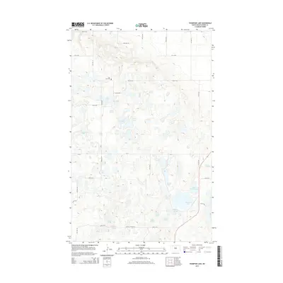
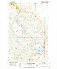
2014 Map of Thompson Lake
USGS Topo · Published 2014About this map
Little Butte Cem sits upon the elevated prairie of Burke County, overlooking a complex wetland mosaic of pothole lakes and sloughs. This landscape is defined by its glacial hydrology, where water bodies such as Thompson Lake, Ward Lake, and Kirkland Lake are interspersed with numerous smaller basins like Melbus Slough and Jerrys Slough. The intricate contour lines reveal the subtle depressions and rises characteristic of this region, providing a high-resolution view of the natural drainage patterns in the decade following the turn of the millennium.
Find a feature on this map
29 named features on this map. Tap any name to fly to it.
Don’t see what you’re looking for? This feature index may not catch every label — zoom into the map to look around manually.
Map Details
Editions of this 2014 Thompson Lake Map
This is the sole edition of this map. No revisions or reprints were ever made.
Other maps of this area
1948 · Coteau
USGS Topo · 1:24,000
1948 · Woburn
USGS Topo · 1:24,000
1948 · Vanville NE
USGS Topo · 1:24,000
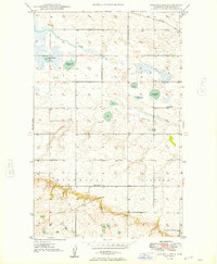
1949 · Rennie Lake
USGS Topo · 1:24,000
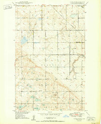
1950 · Vanville NE
USGS Topo · 1:24,000
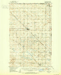
1950 · Flaxton
USGS Topo · 1:62,500
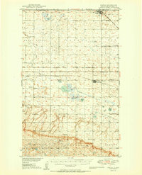
1950 · Portal
USGS Topo · 1:62,500

1953 · Williston
USGS Topo · 1:250,000

1957 · Williston
USGS Topo · 1:250,000
1974 · Thompson Lake
USGS Topo · 1:24,000