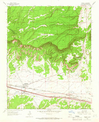
1963 Map of Thoreau
USGS Topo · Published 1966About this map
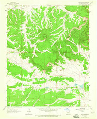
The Atchison Topeka and Santa Fe railroad corridor defines the southern valley of this mid-1960s survey, anchoring the community of Thoreau. This transit artery, flanked by iconic highways 66 and 40, facilitated the movement of goods and people through the high desert landscape of McKinley County. To the north, the terrain rises sharply toward the Cibola National Forest, where the summit of Mt Powell stands as a prominent landmark along the Continental Divide. Local development is visible through smaller settlements such as Mitchell and the dual sidings of North Chaves and South Chaves. Evidence of water management in this arid environment is documented by features like Largo Dam and Honio Dam, while a Cemetery near the main townsite provides a focused point of interest for genealogical research into the families who settled this rugged portion of New Mexico.
Find a feature on this map
13 named features on this map. Tap any name to fly to it.
Don’t see what you’re looking for? This feature index may not catch every label — zoom into the map to look around manually.
Map Details
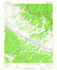
Editions of this 1963 Thoreau Map
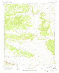
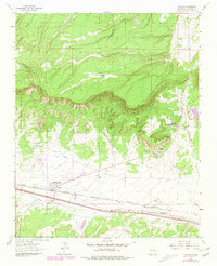
Other maps of this area

1886 · Wingate
USGS Topo · 1:250,000

1892 · Wingate
USGS Topo · 1:250,000

1954 · Gallup
USGS Topo · 1:250,000

1958 · Gallup
USGS Topo · 1:250,000

1959 · Gallup
USGS Topo · 1:250,000

1961 · Cottonwood Canyon
USGS Topo · 1:24,000

1962 · Gallup
USGS Topo · 1:250,000
1962 · Continental Divide
USGS Topo · 1:24,000

1962 · Cottonwood Canyon
USGS Topo · 1:24,000
1963 · Hosta Butte
USGS Topo · 1:24,000