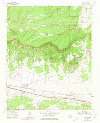
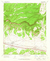
1963 Map of Thoreau
USGS Topo · Published 1981About this map
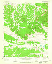
The Continental Divide snake-like path across the high desert terrain defines this portion of McKinley County, where the geography transitions from the peaks of Mt Powell to the broad valley floor. The settlement of Thoreau serves as a critical junction, situated where the Atchison Topeka and Santa Fe railroad corridor runs parallel to a major Pipeline and early highway routes. Local life and history are anchored by landmarks such as the San Antonio Mission and Crosslands Mission, while industrial activity is evidenced by a Quarry and Gravel Pit. To the east, the small communities of Mitchell, North Chaves, and South Chaves line the rail path, supported by local water sources like San Antonio Spring and the Largo Dam.
Find a feature on this map
21 named features on this map. Tap any name to fly to it.
Don’t see what you’re looking for? This feature index may not catch every label — zoom into the map to look around manually.
Map Details
Editions of this 1963 Thoreau Map
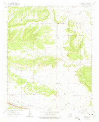
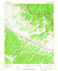
Other maps of this area

1886 · Wingate
USGS Topo · 1:250,000

1892 · Wingate
USGS Topo · 1:250,000

1954 · Gallup
USGS Topo · 1:250,000

1958 · Gallup
USGS Topo · 1:250,000

1959 · Gallup
USGS Topo · 1:250,000

1961 · Cottonwood Canyon
USGS Topo · 1:24,000

1962 · Gallup
USGS Topo · 1:250,000
1962 · Continental Divide
USGS Topo · 1:24,000

1962 · Cottonwood Canyon
USGS Topo · 1:24,000
1963 · Hosta Butte
USGS Topo · 1:24,000