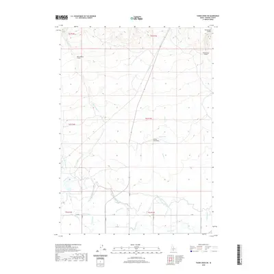
2020 Map of Thorn Creek SW
USGS Topo · Published 2020About this map
The irrigation infrastructure of Gooding County defines the southern half of this landscape, where the North Gooding Main Canal and its intricate network of laterals transform the arid high desert. This water management system, including the Robertson Ditch, Union Ditch, and Randolf Ditch, illustrates the intensive engineering required to support agriculture in this region. The southern plains are a stark contrast to the northern terrain, which is dominated by deep drainage cuts and volcanic features.
Find a feature on this map
31 named features on this map. Tap any name to fly to it.
Don’t see what you’re looking for? This feature index may not catch every label — zoom into the map to look around manually.
Map Details
Editions of this 2020 Thorn Creek SW Map
This is the sole edition of this map. No revisions or reprints were ever made.
Other maps of this area

1949 · Gooding Butte
USGS Topo · 1:24,000

1950 · Gooding Butte
USGS Topo · 1:24,000

1955 · Twin Falls
USGS Topo · 1:250,000

1955 · Hailey
USGS Topo · 1:250,000

1957 · Thorn Creek SE
USGS Topo · 1:24,000

1957 · Thorn Creek SW
USGS Topo · 1:24,000

1957 · Thorn Creek
USGS Topo · 1:62,500

1957 · Davis Mountain
USGS Topo · 1:62,500

1958 · Twin Falls
USGS Topo · 1:250,000

1959 · Hailey
USGS Topo · 1:250,000