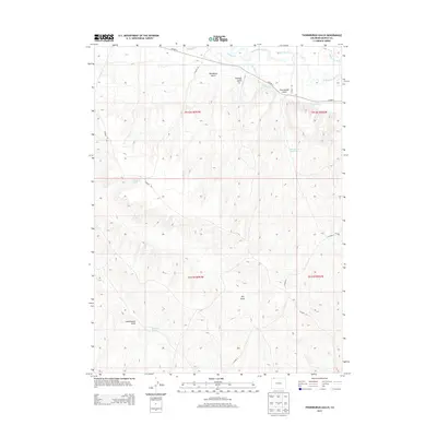
2013 Map of Thornburgh Gulch
USGS Topo · Published 2013About this map
The Little Snake River winds through this corner of Moffat County, defining a landscape shaped by early water management and high-desert drainage. A complex network of irrigation infrastructure is visible along the river corridor, including the Woodbury Ditch, Heeley Ditch, and the W Side Canal, which diverted water to support ranching in the arid terrain. The map's topography is carved by numerous namesake drainages, such as Woodbury Gulch and Scandinavian Gulch, providing a detailed look at the watershed before these seasonal flows reach the river. This 2013 survey also identifies several isolated water sources critical to the area's history, such as Thornburgh Spring and Monasco Spring. Roads like Co HWY-4 and Co Road 146 trace the natural contours of the gulches, marking the primary access routes through this rural ranching country.
Find a feature on this map
24 named features on this map. Tap any name to fly to it.
Don’t see what you’re looking for? This feature index may not catch every label — zoom into the map to look around manually.
Map Details
Editions of this 2013 Thornburgh Gulch Map
This is the sole edition of this map. No revisions or reprints were ever made.
Other maps of this area

1916 · Craig
USGS Topo · 1:125,000

1954 · Rawlins
USGS Topo · 1:250,000

1954 · Craig
USGS Topo · 1:250,000

1957 · Craig
USGS Topo · 1:250,000

1957 · Baggs
USGS Topo · 1:62,500

1958 · Rawlins
USGS Topo · 1:250,000

1958 · Craig
USGS Topo · 1:250,000

1960 · Craig
USGS Topo · 1:250,000

1962 · Rawlins
USGS Topo · 1:250,000

1962 · Craig
USGS Topo · 1:250,000