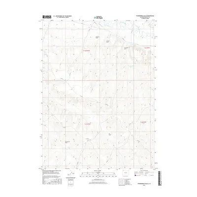
2016 Map of Thornburgh Gulch
USGS Topo · Published 2016About this map
The Little Snake River winds through the northern portion of this Moffat County landscape, where an intricate network of irrigation channels supported local ranching and agriculture in the mid-2010s. Engineering for water management is evident in features like the Woodbury Ditch, Trowel Ditch, Heeley Ditch, and W Side Canal, which divert water across the varying elevations. The terrain is defined by a series of named drainages, including Woodbury Gulch and Scandinavian Gulch, suggesting a history of diverse settler influence in this part of northwestern Colorado. Vital water sources like Conway Spring, Thornburgh Spring, and Monasco Spring are precisely marked, providing important context for historical land use and travel through the arid high country.
Find a feature on this map
26 named features on this map. Tap any name to fly to it.
Don’t see what you’re looking for? This feature index may not catch every label — zoom into the map to look around manually.
Map Details
Editions of this 2016 Thornburgh Gulch Map
This is the sole edition of this map. No revisions or reprints were ever made.
Other maps of this area

1916 · Craig
USGS Topo · 1:125,000

1954 · Rawlins
USGS Topo · 1:250,000

1954 · Craig
USGS Topo · 1:250,000

1957 · Craig
USGS Topo · 1:250,000

1957 · Baggs
USGS Topo · 1:62,500

1958 · Rawlins
USGS Topo · 1:250,000

1958 · Craig
USGS Topo · 1:250,000

1960 · Craig
USGS Topo · 1:250,000

1962 · Rawlins
USGS Topo · 1:250,000

1962 · Craig
USGS Topo · 1:250,000