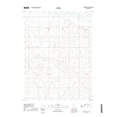
2019 Map of Thornburgh Gulch
USGS Topo · Published 2019About this map
The Little Snake River winds through the northern portion of this Moffat County landscape, driving an intricate network of irrigation infrastructure in an otherwise arid environment. Water rights and land use are clearly defined by the presence of the Woodbury Ditch, Heeley Ditch, Trowel Ditch, and the Gibson Blair Ditch, which channel resources from the river to the surrounding ranchlands. The terrain is deeply incised by numerous drainage features, most notably Thornburgh Gulch and Tommys Gulch.
Find a feature on this map
26 named features on this map. Tap any name to fly to it.
Don’t see what you’re looking for? This feature index may not catch every label — zoom into the map to look around manually.
Map Details
Editions of this 2019 Thornburgh Gulch Map
This is the sole edition of this map. No revisions or reprints were ever made.
Other maps of this area

1916 · Craig
USGS Topo · 1:125,000

1954 · Rawlins
USGS Topo · 1:250,000

1954 · Craig
USGS Topo · 1:250,000

1957 · Craig
USGS Topo · 1:250,000

1957 · Baggs
USGS Topo · 1:62,500

1958 · Rawlins
USGS Topo · 1:250,000

1958 · Craig
USGS Topo · 1:250,000

1960 · Craig
USGS Topo · 1:250,000

1962 · Rawlins
USGS Topo · 1:250,000

1962 · Craig
USGS Topo · 1:250,000