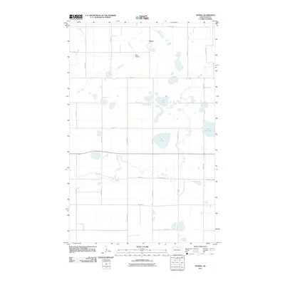
2011 Map of Thorne
USGS Topo · Published 2011About this map
Thorne serves as the primary community anchor in this part of Rolette County, characterized by a regular grid of section-line roads and numerous glacial prairie potholes. The landscape is defined by its water features, including Twin Lake, Girl Lake, and the meandering Wolf Creek. These wetlands and small lakes are interspersed throughout the agricultural landscape, which is navigated by a network of rural routes such as 81A Road 13 and Old State Hwy 29. Just south of the town site, Saint Edward Cemetery provides a specific point of interest for genealogists and local historians. To the northwest, Mud Creek and Snake Creek drain across the northern sections, illustrating the subtle hydrology of the region before the land transitions toward larger water bodies like Little Gurr Lake in the east.
Find a feature on this map
25 named features on this map. Tap any name to fly to it.
Don’t see what you’re looking for? This feature index may not catch every label — zoom into the map to look around manually.
Map Details
Editions of this 2011 Thorne Map
This is the sole edition of this map. No revisions or reprints were ever made.
Other maps of this area

1935 · Dunseith
USGS Topo · 1:48,000

1936 · Lake Upsilon
USGS Topo · 1:48,000

1939 · Dunseith
USGS Topo · 1:62,500

1942 · Lake Upsilon
USGS Topo · 1:62,500

1953 · Devils Lake
USGS Topo · 1:250,000

1954 · Overly SE
USGS Topo · 1:24,000

1954 · Minot
USGS Topo · 1:250,000

1955 · Fonda
USGS Topo · 1:24,000

1955 · Thorne
USGS Topo · 1:24,000

1955 · Rolette SW
USGS Topo · 1:24,000