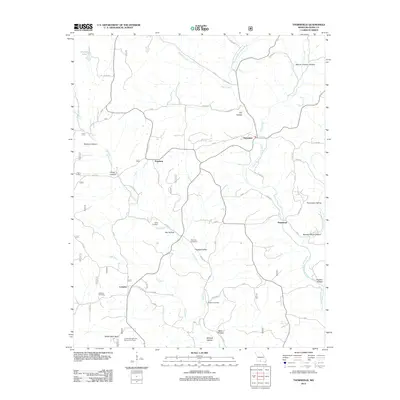
2012 Map of Thornfield
USGS Topo · Published 2012About this map
Thornfield and the surrounding Ozark communities of Pondfork, Hammond, and Longrun appear in this 2012 survey, defined by a landscape of named hollows and winding waterways. The Little North Fork White River and Pond Fork dictate the area's movement, with the United States Forest Service Fire Tower standing as a prominent landmark near Washington Bald. For local historians and genealogists, the map provides precise locations for family burial grounds including Welsh Cemetery, Truevine Cemetery, Wallace Cemetery, and Graham Cemetery. The terrain is characterized by deep depressions like Mount Lebanon Hollow and Buzzard Roost Hollow, illustrating the complex drainage patterns of the Missouri hills. A network of county roads connects these dispersed settlements, tracing the high ridges and valley floors that have shaped this region's rural development for generations.
Find a feature on this map
49 named features on this map. Tap any name to fly to it.
Don’t see what you’re looking for? This feature index may not catch every label — zoom into the map to look around manually.
Map Details
Editions of this 2012 Thornfield Map
This is the sole edition of this map. No revisions or reprints were ever made.
Other maps of this area

1936 · Thornfield
USGS Topo · 1:48,000

1936 · Ava
USGS Topo · 1:48,000

1937 · Bradleyville
USGS Topo · 1:48,000

1942 · Ava
USGS Topo · 1:62,500

1943 · Protem
USGS Topo · 1:62,500

1943 · Thornfield
USGS Topo · 1:62,500

1943 · Bradleyville
USGS Topo · 1:62,500

1945 · Ava
USGS Topo · 1:62,500

1945 · Harrison
USGS Topo · 1:250,000

1945 · Thornfield
USGS Topo · 1:62,500