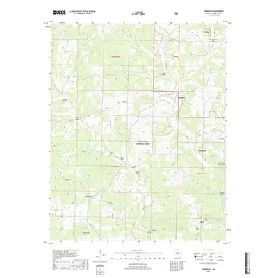
2017 Map of Thornfield
USGS Topo · Published 2017About this map
Thornfield and the surrounding Ozark hills are defined by the winding course of the Little North Fork White River and its numerous tributaries. This 2017 survey shows a landscape heavily integrated with the Mark Twain National Forest, where small rural settlements like Hammond, Pondfork, and Longrun serve as anchor points in a terrain deeply carved by dozens of named hollows. From Buttram Hollow in the west to Panther Hollow in the southeast, the topography dictates the movement of both water and roads.
Find a feature on this map
66 named features on this map. Tap any name to fly to it.
Don’t see what you’re looking for? This feature index may not catch every label — zoom into the map to look around manually.
Map Details
Editions of this 2017 Thornfield Map
This is the sole edition of this map. No revisions or reprints were ever made.
Other maps of this area

1936 · Thornfield
USGS Topo · 1:48,000

1936 · Ava
USGS Topo · 1:48,000

1937 · Bradleyville
USGS Topo · 1:48,000

1942 · Ava
USGS Topo · 1:62,500

1943 · Protem
USGS Topo · 1:62,500

1943 · Thornfield
USGS Topo · 1:62,500

1943 · Bradleyville
USGS Topo · 1:62,500

1945 · Ava
USGS Topo · 1:62,500

1945 · Harrison
USGS Topo · 1:250,000

1945 · Thornfield
USGS Topo · 1:62,500