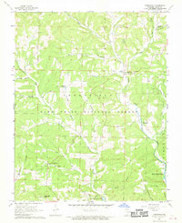
1968 Map of Thornfield
USGS Topo · Published 1970About this map
The Little North Fork White River winds through this Ozark County landscape, showing the region just as the southern waters were influenced by the reservoir. In the late 1960s, the terrain was defined by the intersection of small rural settlements and the Mark Twain National Forest. Local life centers on scattered communities like Thornfield and Pondfork, while the presence of family-named landmarks such as Welsh Cem and Graham Cem provide essential data for genealogical research.
Find a feature on this map
34 named features on this map. Tap any name to fly to it.
Don’t see what you’re looking for? This feature index may not catch every label — zoom into the map to look around manually.
Map Details
Editions of this 1968 Thornfield Map
This is the sole edition of this map. No revisions or reprints were ever made.
Other maps of this area

1936 · Thornfield
USGS Topo · 1:48,000

1936 · Ava
USGS Topo · 1:48,000

1937 · Bradleyville
USGS Topo · 1:48,000

1942 · Ava
USGS Topo · 1:62,500

1943 · Protem
USGS Topo · 1:62,500

1943 · Thornfield
USGS Topo · 1:62,500

1943 · Bradleyville
USGS Topo · 1:62,500

1945 · Ava
USGS Topo · 1:62,500

1945 · Harrison
USGS Topo · 1:250,000

1945 · Thornfield
USGS Topo · 1:62,500