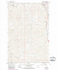
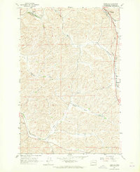
1964 Map of Thornton
USGS Topo · Published 1986About this map
Thornton and Sunset anchor the northern reaches of this Whitman County landscape, where the Union Pacific railroad carves through the rolling Palouse terrain. The rail line follows the natural corridor of Thorn Creek, passing near several small sidings and communities including Barnes and Trowbridge. In the 1960s, this region remained heavily focused on agriculture and transport, as evidenced by the Landing Strip in Pleasant Valley and a local Gravel Pit near Sunset. Revisions made in the mid-1980s highlight shifting infrastructure, most notably the classification of certain rail segments as Abandoned south of Thornton. From the Cem (cemetery) north of Thornton down to the winding Cottonwood Creek, the map provides a clear look at the rural homesteads and drainage patterns like Hastings Gulch that define this inland Washington wheat-growing territory.
Find a feature on this map
17 named features on this map. Tap any name to fly to it.
Don’t see what you’re looking for? This feature index may not catch every label — zoom into the map to look around manually.
Map Details
Editions of this 1964 Thornton Map
2 editions found
Other maps of this area

1903 · Oakesdale
USGS Topo · 1:125,000

1905 · Oakesdale
USGS Topo · 1:125,000

1910 · Pullman
USGS Topo · 1:125,000

1950 · Endicott
USGS Topo · 1:62,500

1955 · Pullman
USGS Topo · 1:250,000

1955 · Spokane
USGS Topo · 1:250,000

1958 · Spokane
USGS Topo · 1:250,000

1958 · Pullman
USGS Topo · 1:250,000

1964 · Diamond
USGS Topo · 1:24,000

1964 · St. John
USGS Topo · 1:24,000