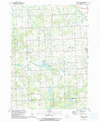
1991 Map of Thornville
USGS Topo · Published 1991About this map
The South Branch Flint River and its associated wetlands define this portion of Lapeer County, where glacial depressions have created a dense network of small lakes and drains. The village of Dryden serves as the local hub, connected by the GT RR line and several major country thoroughfares including Dryden Road and General Squier Highway. To the west, the smaller settlement of Thornville sits near the river's edge, adjacent to its own Thornville Cem.
Find a feature on this map
65 named features on this map. Tap any name to fly to it.
Don’t see what you’re looking for? This feature index may not catch every label — zoom into the map to look around manually.
Map Details
Editions of this 1991 Thornville Map
This is the sole edition of this map. No revisions or reprints were ever made.
Historical Maps of Oxford Charter Township Through Time
12 maps found

1945 Hadley
Lapeer County, MI

1945 Thornville
Lapeer County, MI
1963 Burnside
Lapeer County, MI
1963 Elba
Lapeer County, MI
1968 Hadley
Lapeer County, MI
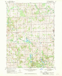
1968 Thornville
Lapeer County, MI
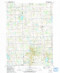
1991 Hadley
Lapeer County, MI
1991 Thornville
Lapeer County, MI
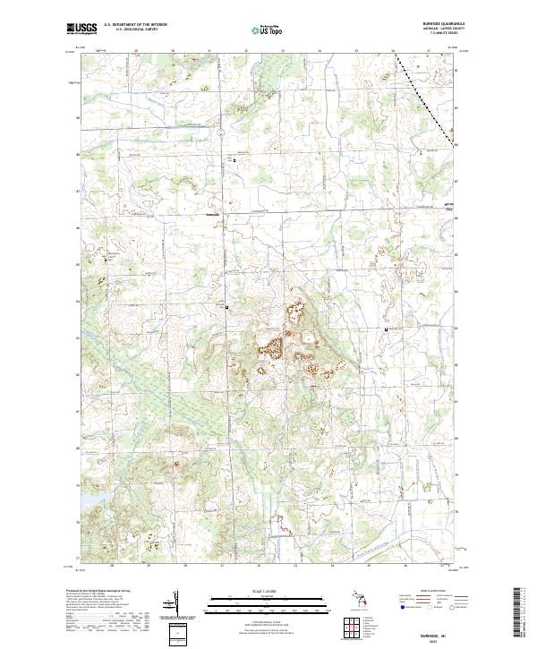
2023 Burnside
Lapeer County, MI
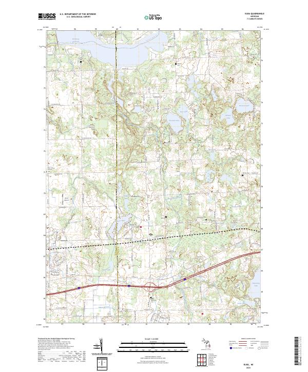
2023 Elba
Lapeer County, MI
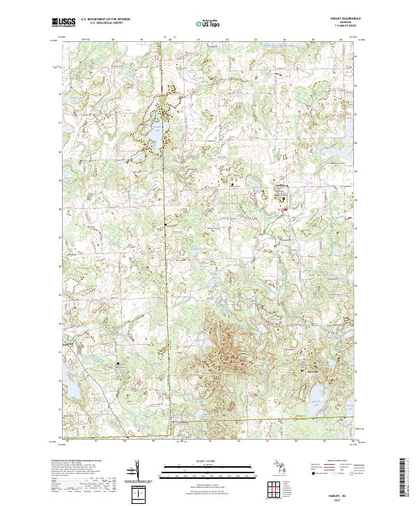
2023 Hadley
Lapeer County, MI
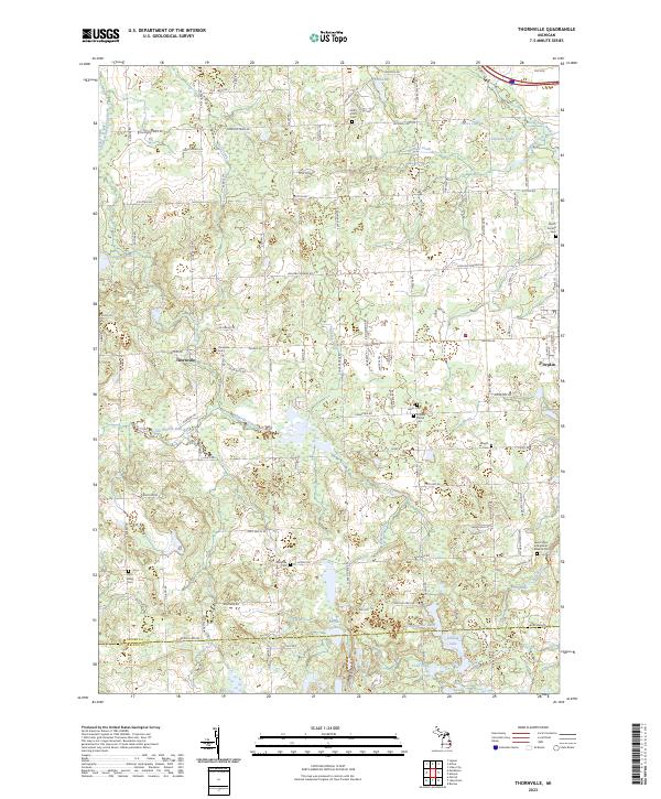
2023 Thornville
Lapeer County, MI
Featured Locations
- Attica Township, MI
- Addison Township, MI
- Oxford Charter Township, MI
- Dryden, Dryden Township
- Thornville, Metamora Township