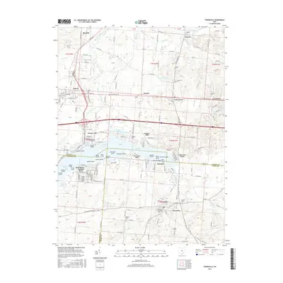
2016 Map of Thornville
USGS Topo · Published 2016About this map
The Buckeye Lake shoreline dominates this 2016 survey, revealing a densely packed archipelago of named islands and waterfront settlements at the intersection of Licking, Fairfield, and Perry Counties. From the primary village of Thornville in the south to Hebron in the northwest, the map documents a landscape defined by recreational geography and early 19th-century legacies. The Cranberry Marsh stands out as a unique natural feature amidst the developed leisure communities of Fairfield Beach, Harbor Hills, and Edgewater Beach.
Find a feature on this map
107 named features on this map. Tap any name to fly to it.
Don’t see what you’re looking for? This feature index may not catch every label — zoom into the map to look around manually.
Map Details
Editions of this 2016 Thornville Map
This is the sole edition of this map. No revisions or reprints were ever made.
Other maps of this area

1907 · Thurston
USGS Topo · 1:62,500

1908 · Granville
USGS Topo · 1:62,500

1909 · Newark
USGS Topo · 1:62,500

1909 · Thornville
USGS Topo · 1:62,500

1909 · Thurston
USGS Topo · 1:62,500

1910 · Granville
USGS Topo · 1:62,500

1947 · Columbus
USGS Topo · 1:250,000

1950 · Marion
USGS Topo · 1:250,000

1961 · Columbus
USGS Topo · 1:250,000

1961 · Hanover
USGS Topo · 1:24,000