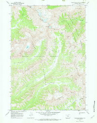
1970 Map of Thorofare Buttes
USGS Topo · Published 1973About this map
Thorofare Buttes dominates the southern portion of this high-altitude landscape, where the headwaters of numerous drainages converge at the boundary of the Shoshone National Forest and Teton National Forest. This 1970 survey captures a wilderness unchanged by modern development, showing the complex watershed that feeds Ishawooa Creek and the Borner Fork. The terrain is characterized by massive formations like Petrified Ridge and Wapiti Ridge, with high-elevation crossing points such as Ishawooa Pass and Deer Creek Pass providing the only passage through the mountains. A system of designated Pack Trails follows the contour of the valleys, connecting isolated landmarks like Spruce Meadow and the prominent Ishawooa Cone, reflecting the remote and preserved state of the Washakie Wilderness and Teton Wilderness during the early 1970s.
Find a feature on this map
20 named features on this map. Tap any name to fly to it.
Don’t see what you’re looking for? This feature index may not catch every label — zoom into the map to look around manually.
Map Details
Editions of this 1970 Thorofare Buttes Map
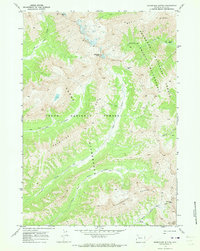
2 editions found
Other maps of this area

1893 · Ishawooa
USGS Topo · 1:125,000

1895 · Ishawooa
USGS Topo · 1:125,000

1899 · Ishawooa
USGS Topo · 1:125,000

1955 · Cody
USGS Topo · 1:250,000

1958 · Cody
USGS Topo · 1:250,000

1962 · Cody
USGS Topo · 1:250,000
1970 · Sheep Mesa
USGS Topo · 1:24,000
1970 · Fall Creek
USGS Topo · 1:24,000
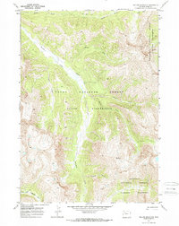
1970 · Yellow Mountain
USGS Topo · 1:24,000
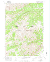
1970 · Clouds Home Peak
USGS Topo · 1:24,000