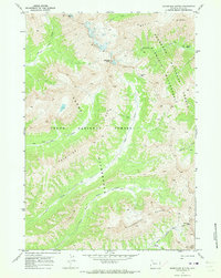
1970 Map of Thorofare Buttes
USGS Topo · Published 1973About this map
The high alpine Divide country of northwest Wyoming is defined here by the convergence of the Shoshone National Forest and Teton National Forest. Centered on the towering Ishawooa Cone, the landscape is a network of drainage basins and ridges that mark the transition between the Washakie Wilderness and the Teton Wilderness. High-altitude crossings like Ishawooa Pass, Deer Creek Pass, and Rampart Pass serve as the primary conduits through this roadless terrain.
Find a feature on this map
22 named features on this map. Tap any name to fly to it.
Don’t see what you’re looking for? This feature index may not catch every label — zoom into the map to look around manually.
Map Details
Editions of this 1970 Thorofare Buttes Map
2 editions found
Other maps of this area

1893 · Ishawooa
USGS Topo · 1:125,000

1895 · Ishawooa
USGS Topo · 1:125,000

1899 · Ishawooa
USGS Topo · 1:125,000

1955 · Cody
USGS Topo · 1:250,000

1958 · Cody
USGS Topo · 1:250,000

1962 · Cody
USGS Topo · 1:250,000
1970 · Sheep Mesa
USGS Topo · 1:24,000
1970 · Fall Creek
USGS Topo · 1:24,000
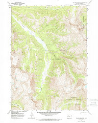
1970 · Yellow Mountain
USGS Topo · 1:24,000
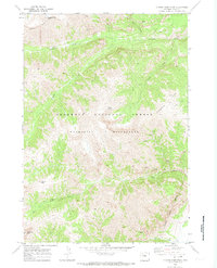
1970 · Clouds Home Peak
USGS Topo · 1:24,000