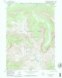
1970 Map of Thorofare Plateau
USGS Topo · Published 1981About this map
Thorofare Plateau rises as a central landform within the high-elevation backcountry of the Teton Wilderness, as documented during this 1970 field check. The landscape is defined by its drainage systems, with Thorofare Creek winding across the northern boundary and the North Fork Yellowstone River cutting through the southern reaches. This area, located within the Teton National Forest, shows no permanent settlements or roads, instead featuring a network of established horse and foot paths like the Trail (Pack) and various other Pack Trails.
Find a feature on this map
13 named features on this map. Tap any name to fly to it.
Don’t see what you’re looking for? This feature index may not catch every label — zoom into the map to look around manually.
Map Details
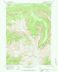
Editions of this 1970 Thorofare Plateau Map
2 editions found
Other maps of this area

1885 · Lake
USGS Topo · 1:125,000

1893 · Ishawooa
USGS Topo · 1:125,000

1895 · Ishawooa
USGS Topo · 1:125,000

1895 · Lake
USGS Topo · 1:125,000

1896 · Lake
USGS Topo · 1:125,000

1899 · Ishawooa
USGS Topo · 1:125,000

1901 · Lake
USGS Topo · 1:125,000

1902 · Mt Leidy
USGS Topo · 1:125,000

1905 · Younts Peak
USGS Topo · 1:125,000

1906 · Lake
USGS Topo · 1:125,000