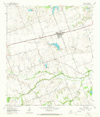
1964 Map of Thrall
USGS Topo · Published 1966About this map
The town of Thrall sits along the Missouri Pacific railroad in the 1960s, serving as a hub for the surrounding agricultural and industrial landscape of Williamson County. The map documents an economy driven by local resources, with the Thrall Oil Field, Noack Oil Field, and Beyersville Oil Field scattered across the plains. These small petroleum pockets, alongside scattered Gravel Pits, highlight the extraction history of the Blackland Prairie region.
Find a feature on this map
28 named features on this map. Tap any name to fly to it.
Don’t see what you’re looking for? This feature index may not catch every label — zoom into the map to look around manually.
Map Details
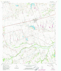
Editions of this 1964 Thrall Map
2 editions found
Other maps of this area

1885 · Taylor
USGS Topo · 1:125,000

1885 · Bastrop
USGS Topo · 1:125,000

1887 · Taylor
USGS Topo · 1:125,000

1893 · Bastrop
USGS Topo · 1:125,000

1894 · Taylor
USGS Topo · 1:125,000

1904 · Bastrop
USGS Topo · 1:125,000

1948 · Elgin
USGS Topo · 1:62,500

1948 · Lexington
USGS Topo · 1:62,500

1950 · Lexington
USGS Topo · 1:62,500

1950 · Elgin
USGS Topo · 1:62,500