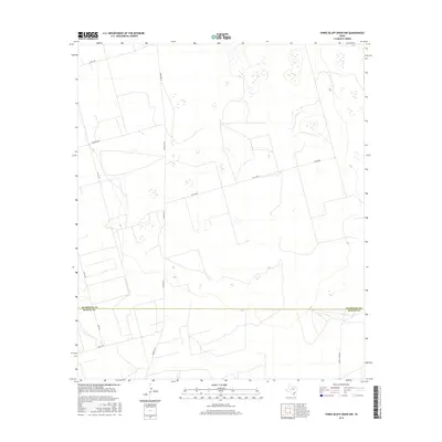
2016 Map of Three Bluff Draw NW
USGS Topo · Published 2016About this map
Glasscock Co and Reagan Co meet along a straight east-west boundary in this high-plains region of West Texas. The landscape is characterized by a sparse network of ranching and utility roads, primarily centered around the north-south artery of Ranch Rd 33. The map detail reveals a working landscape of large-scale land divisions and ephemeral water catchments typical of the Permian Basin's surface. Notable infrastructure includes Radio Tower Rd in the southeast and Farm Rd 2401 crossing the northwest, highlighting the connectivity between isolated holdings. Local access is maintained through a series of numbered routes such as Co Rd 105 and Co Rd 280, while family or descriptive names like Hirt Rd and Angle Rd provide genealogical clues to the families who managed these expansive tracts in the early 21st century.
Find a feature on this map
9 named features on this map. Tap any name to fly to it.
Don’t see what you’re looking for? This feature index may not catch every label — zoom into the map to look around manually.
Map Details
Editions of this 2016 Three Bluff Draw NW Map
This is the sole edition of this map. No revisions or reprints were ever made.
Other maps of this area

1954 · San Angelo
USGS Topo · 1:250,000

1958 · San Angelo
USGS Topo · 1:250,000

1963 · Currie Reservoir
USGS Topo · 1:24,000

1963 · Garden City
USGS Topo · 1:24,000

1965 · San Angelo
USGS Topo · 1:250,000

1965 · Dewey Lake SE
USGS Topo · 1:24,000

1973 · Three Bluff Draw
USGS Topo · 1:24,000

1973 · Three Bluff Draw NE
USGS Topo · 1:24,000

1973 · Saint Lawrence SE
USGS Topo · 1:24,000
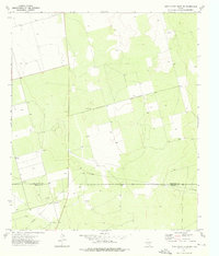
1973 · Three Bluff Draw NW
USGS Topo · 1:24,000