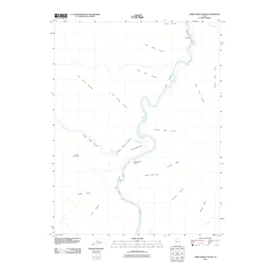
2011 Map of Three Fords Canyon
USGS Topo · Published 2011About this map
The Green River carves a winding path through this corner of Grand County, Utah, defining the boundary between Desolation Canyon to the north and Gray Canyon to the south. This remote landscape is characterized by its dramatic vertical relief and traditional landforms, including the extensive Three Fords Benches and the high plateaus of Pinnacle Mesa and Boulder Mesa. The presence of named landmarks like Jacks Hole and the Three Golden Stairs suggests a history of river travel and traditional access routes through the deep sandstone corridors.
Find a feature on this map
25 named features on this map. Tap any name to fly to it.
Don’t see what you’re looking for? This feature index may not catch every label — zoom into the map to look around manually.
Map Details
Editions of this 2011 Three Fords Canyon Map
This is the sole edition of this map. No revisions or reprints were ever made.
Other maps of this area

1885 · East Tavaputs
USGS Topo · 1:250,000

1886 · Price River
USGS Topo · 1:250,000

1896 · Price River
USGS Topo · 1:250,000

1954 · Range Creek
USGS Topo · 1:62,500

1956 · Price
USGS Topo · 1:250,000

1956 · Grand Junction
USGS Topo · 1:250,000

1959 · Grand Junction
USGS Topo · 1:250,000

1960 · Price
USGS Topo · 1:250,000

1960 · Grand Junction
USGS Topo · 1:250,000

1962 · Grand Junction
USGS Topo · 1:250,000