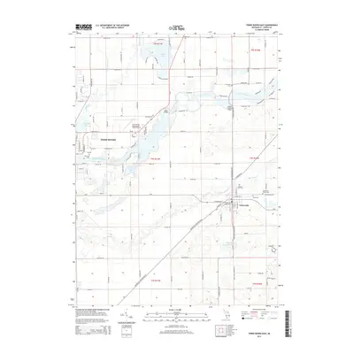
2014 Map of Three Rivers East
USGS Topo · Published 2014About this map
The confluence of the Portage River and the Saint Joseph River anchors this landscape in Saint Joseph County, Michigan. The settlement of Three Rivers dominates the western edge, while the village of Centreville sits to the southeast, surrounded by agricultural tracts and several distinct burial grounds. Genealogists and local historians can trace legacy sites like the Centreville Village Cemetery, Prairie River Cemetery, and the Amish Cemetery. A notable engineering landmark, the Langley Covered Bridge, spans the river near where Fishers Lake feeds into the main waterway. The map also documents the modern infrastructure of the Three Rivers Municipal Dr Haines Airport and the network of township roads like Heimbach Road and Mahnke Road that connect these riverside communities.
Find a feature on this map
119 named features on this map. Tap any name to fly to it.
Don’t see what you’re looking for? This feature index may not catch every label — zoom into the map to look around manually.
Map Details
Editions of this 2014 Three Rivers East Map
This is the sole edition of this map. No revisions or reprints were ever made.
Other maps of this area

1914 · Three Rivers
USGS Topo · 1:62,500

1916 · Three Rivers
USGS Topo · 1:62,500

1918 · Leonidas
USGS Topo · 1:62,500

1922 · Schoolcraft
USGS Topo · 1:62,500

1943 · Three Rivers
USGS Topo · 1:62,500

1943 · Schoolcraft
USGS Topo · 1:62,500

1944 · Leonidas
USGS Topo · 1:62,500

1947 · Leonidas
USGS Topo · 1:62,500

1950 · Leonidas
USGS Topo · 1:62,500

1953 · Fort Wayne
USGS Topo · 1:250,000