
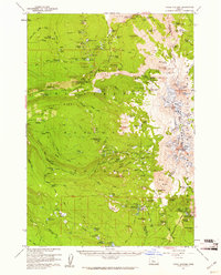
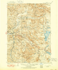
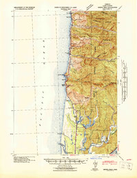
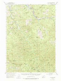
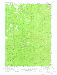
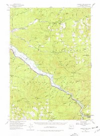
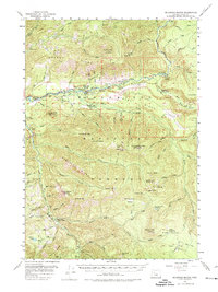
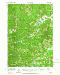
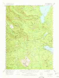
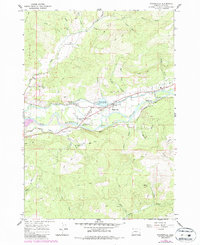
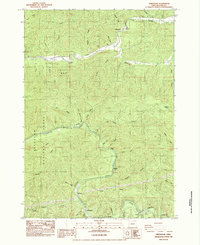
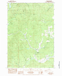
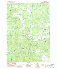
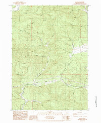
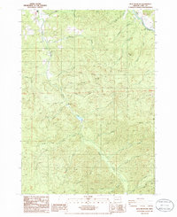
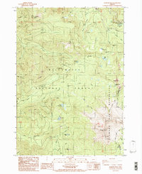
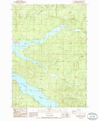
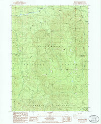
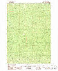
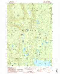
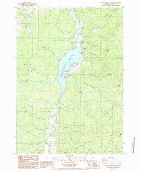
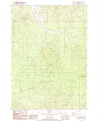
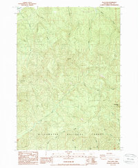
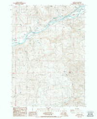
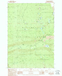
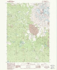
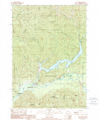
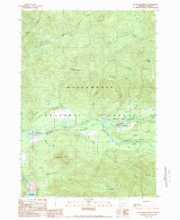
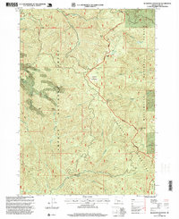
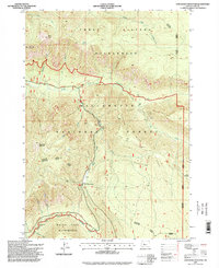
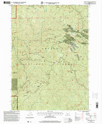
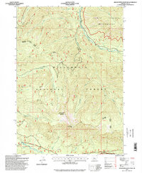
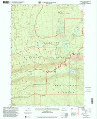
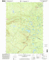
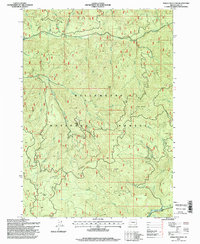
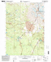
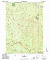
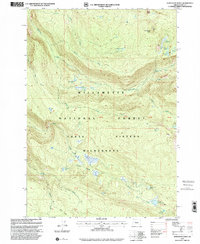
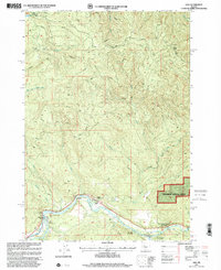
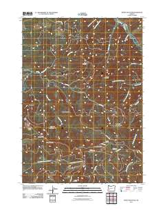
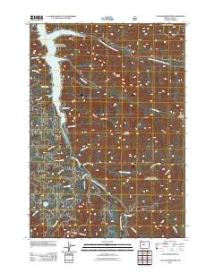
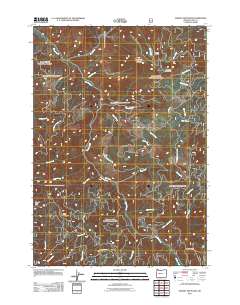
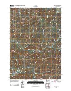
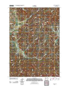
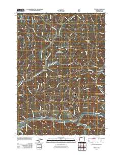
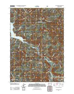
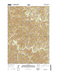
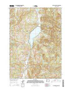
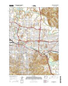
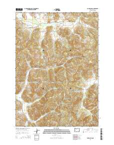
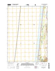
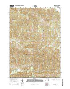
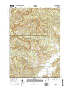
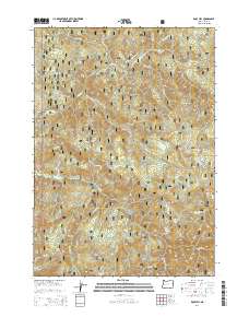
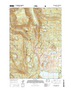
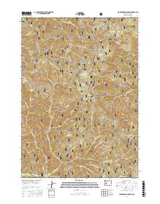
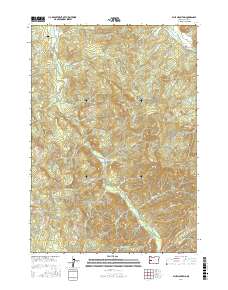
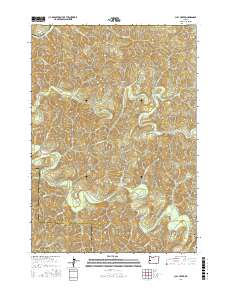
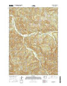
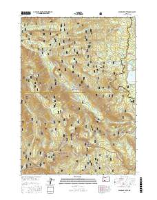
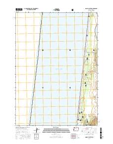
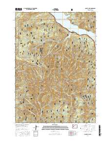
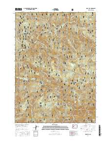
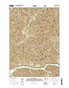
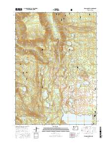
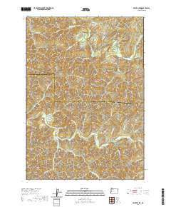
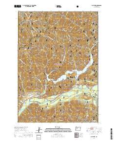
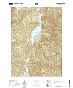
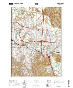
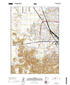
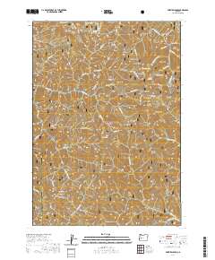
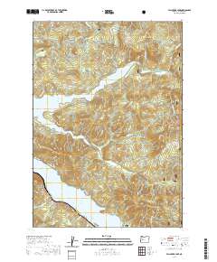
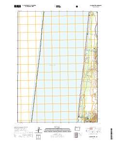
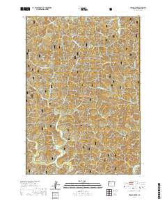
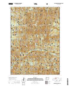
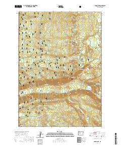
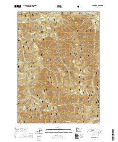
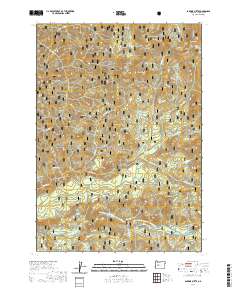
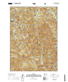
1959 Map of Three Sisters
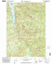
USGS Topo · Published 1970About this map
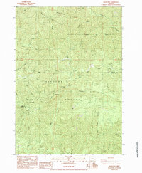
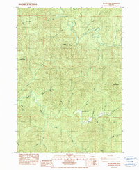
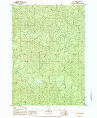
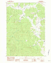
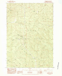
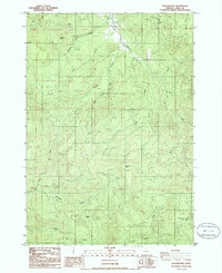
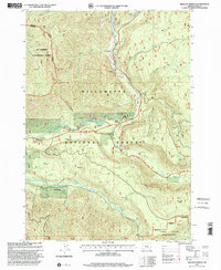
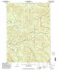
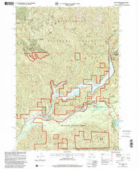
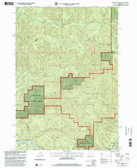
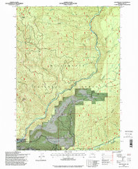
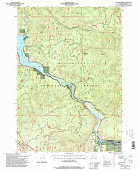
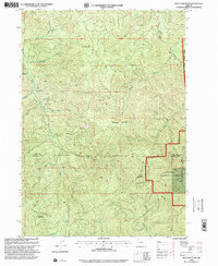
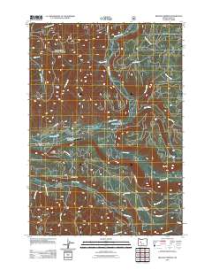
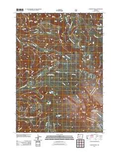
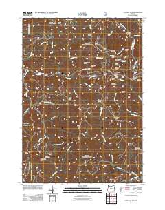
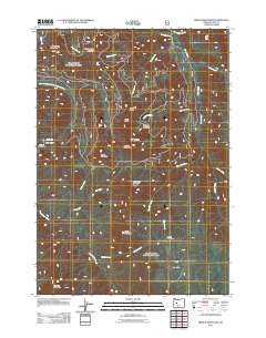
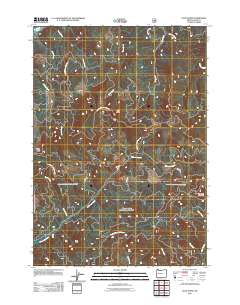
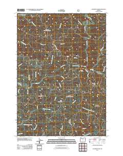
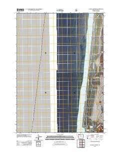
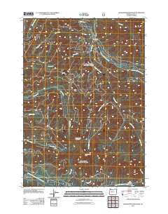
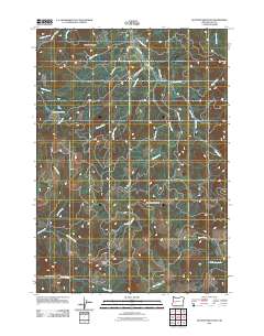
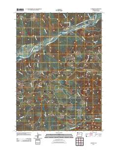
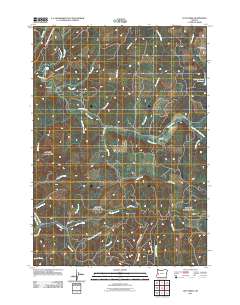
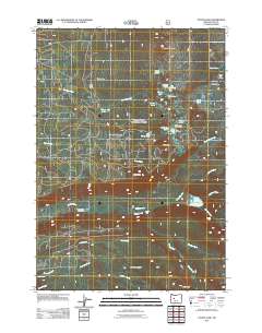
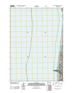
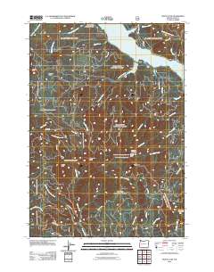
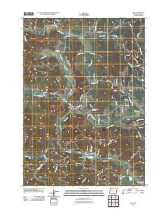
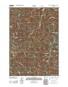
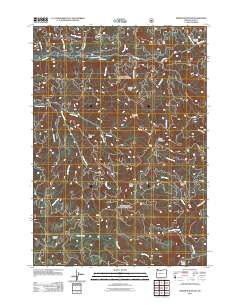
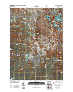
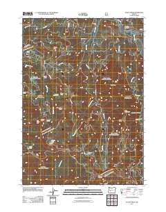
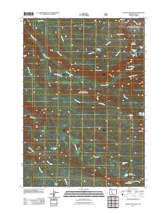
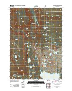
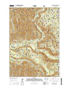
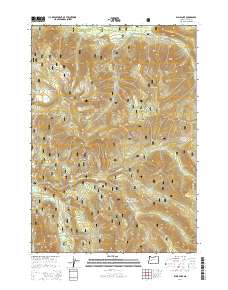
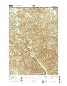
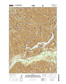
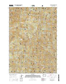
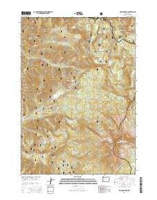
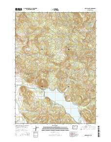
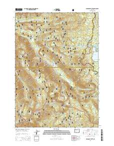
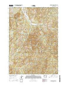
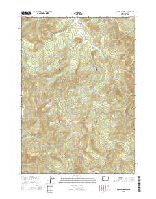
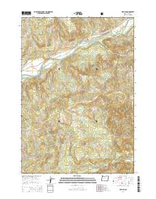
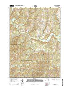
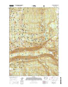
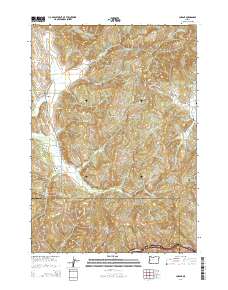
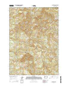
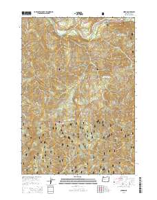
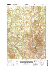
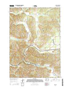
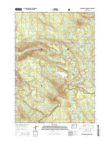
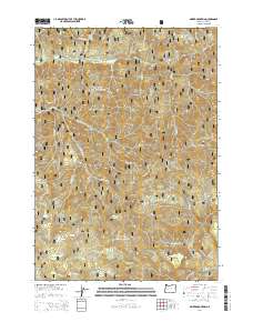
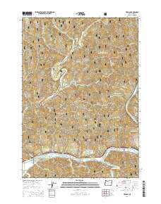
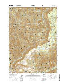
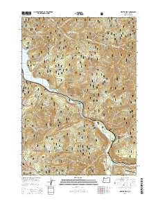
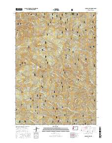
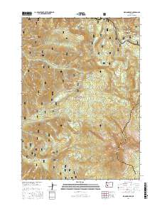
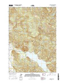
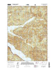
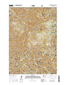
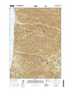
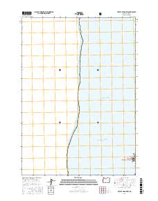
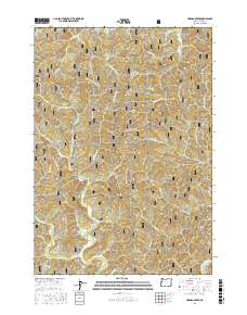
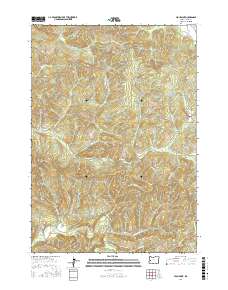
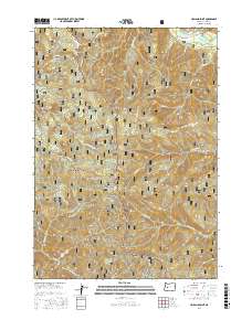
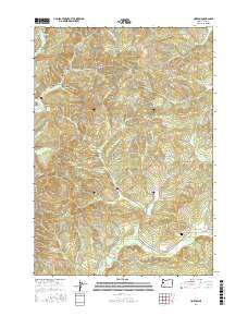
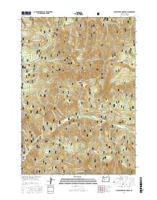
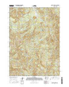
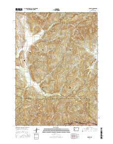
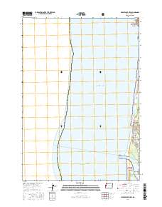
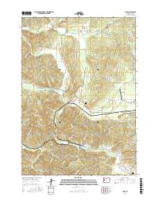
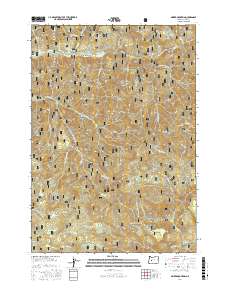
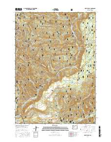
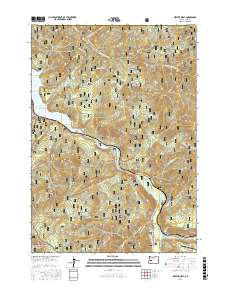
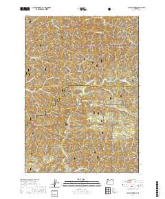
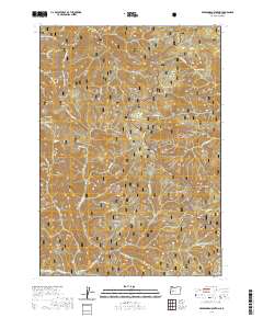
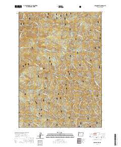
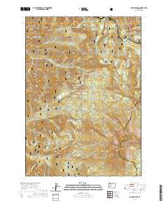
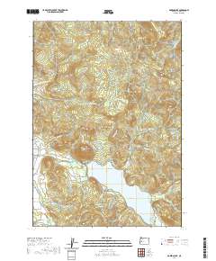
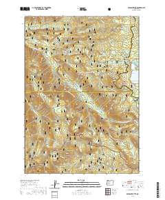
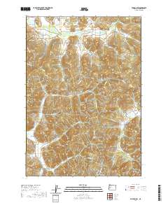
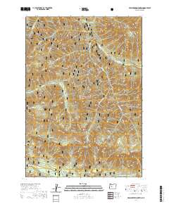
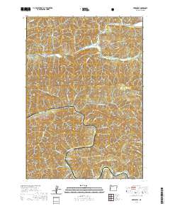
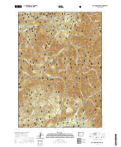
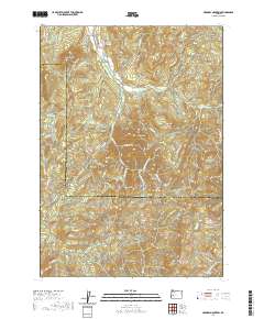
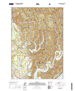
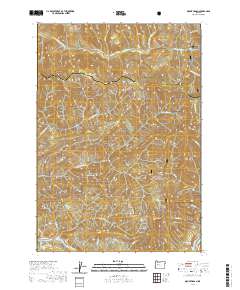
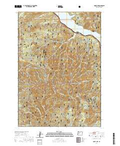
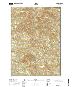
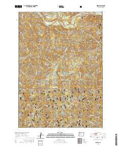
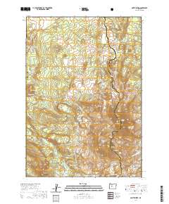
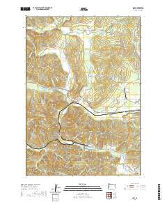
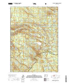
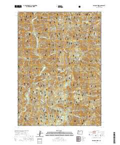
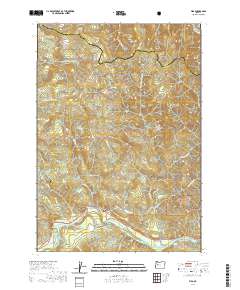
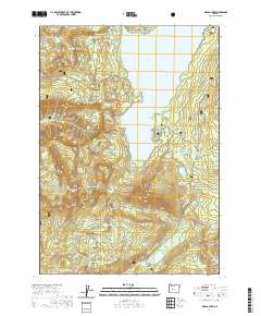
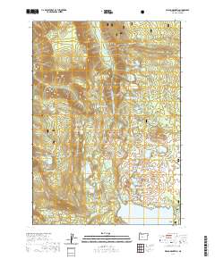
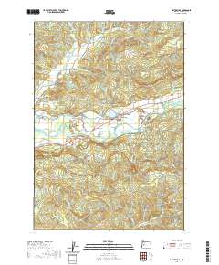
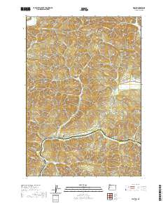
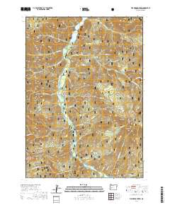
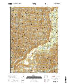
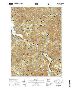
White Branch Youth Camp sits along the western edge of this High Cascades landscape, marking a point of human recreation amidst a highly active volcanic and glacial environment. The boundary between the Willamette National Forest and Deschutes National Forest bisects a terrain defined by dramatic peaks and extensive lava fields, including Yapoah Crater and the Obsidian Cliffs. The map documents several high-altitude refuge points such as Sunshine Shelter and James Creek Shelter, alongside memorials like the Montague Memorial Plaque and Prouty Memorial Plaque. Water features are abundant, from the well-known Proxy Falls and Linton Falls to numerous alpine basins like Benson Lake and Tenas Lakes, reflecting the complex drainage patterns of Foley Ridge and the surrounding volcanic plateau.
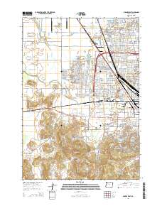
Find a feature on this map
125 named features on this map. Tap any name to fly to it.
Don’t see what you’re looking for? This feature index may not catch every label — zoom into the map to look around manually.
Map Details
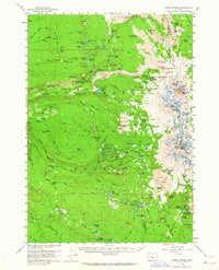
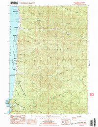
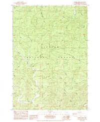
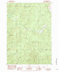
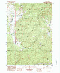
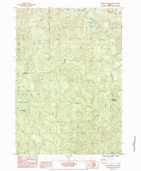
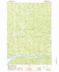
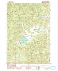
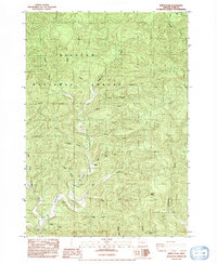
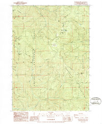
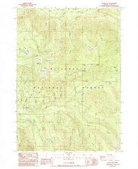
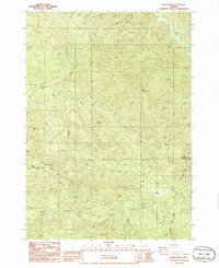
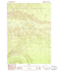
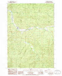
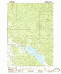
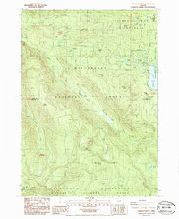
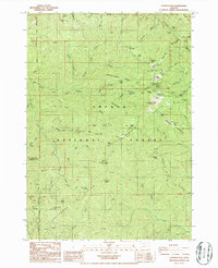
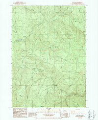
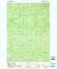
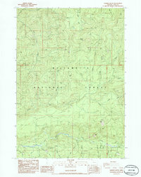
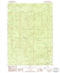
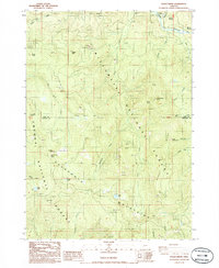
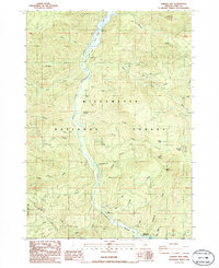
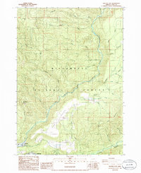
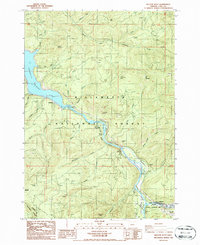
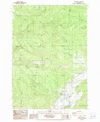
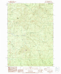
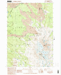
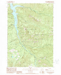
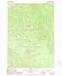
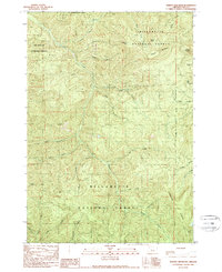
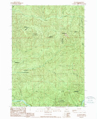
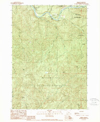
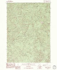
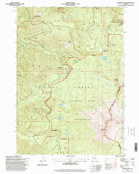
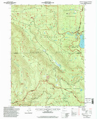
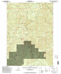
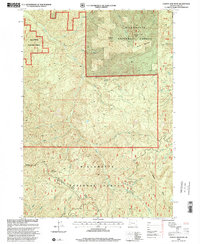
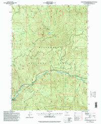
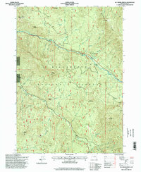
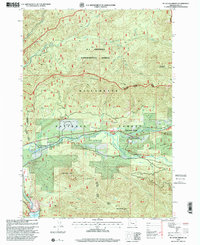
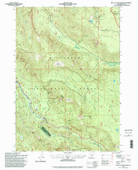
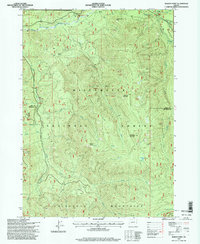
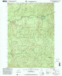
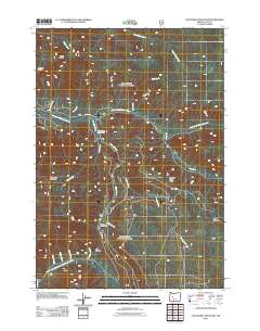
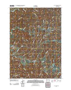
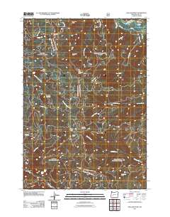
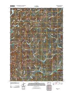
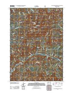
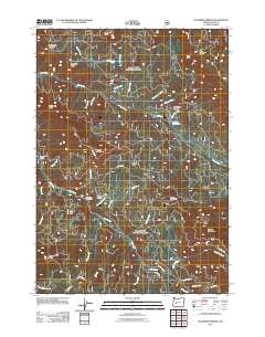
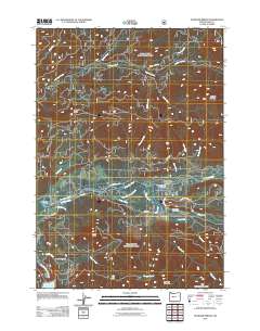
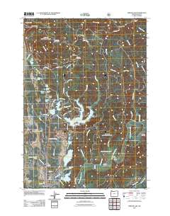
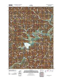
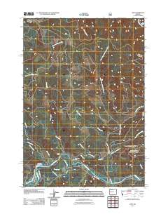
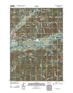
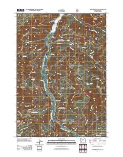
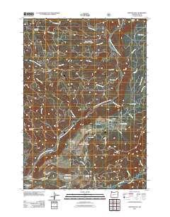
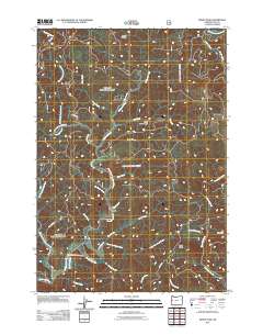
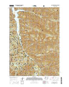
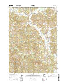
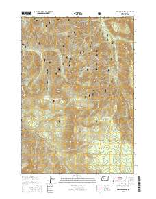
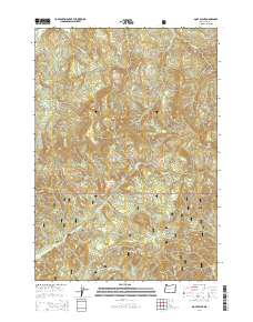
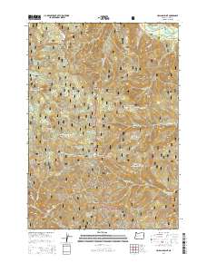
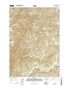
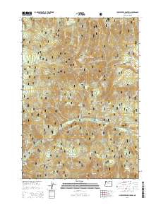
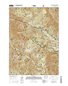
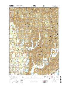
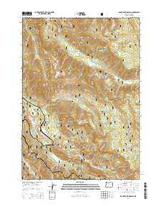
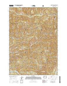
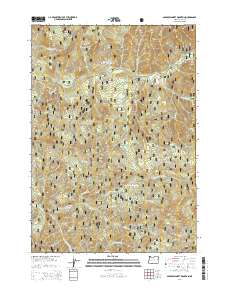
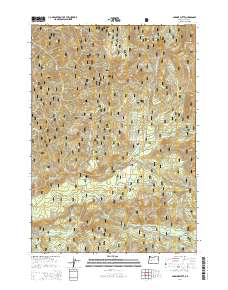
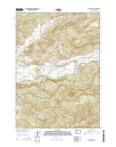
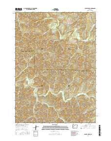
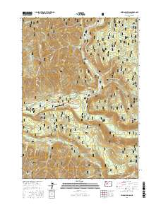
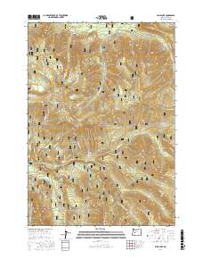
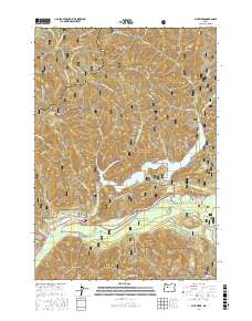
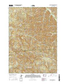
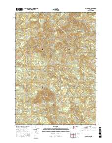
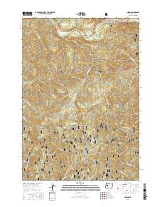
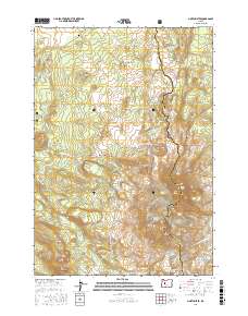
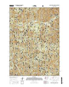
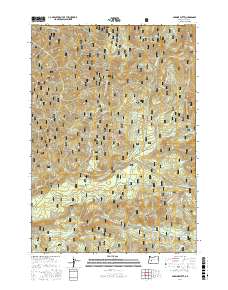
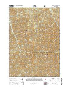
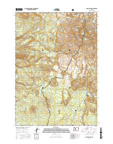
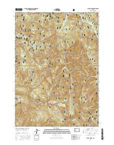
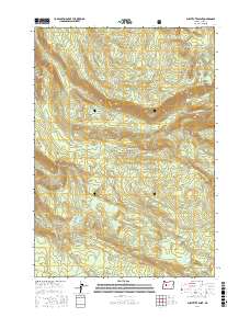
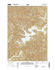
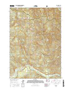
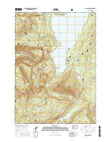
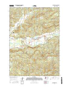
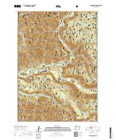
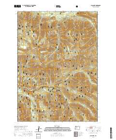
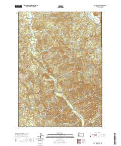
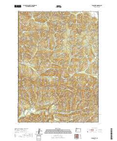
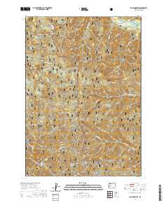
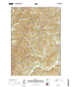
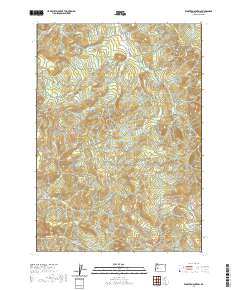
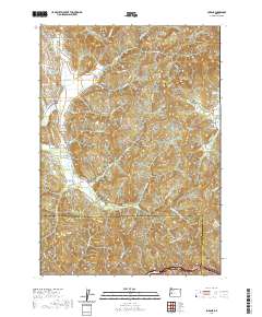
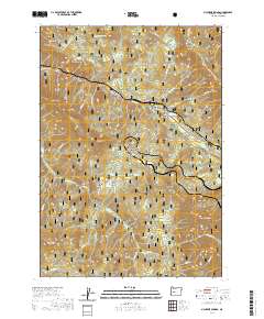
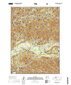
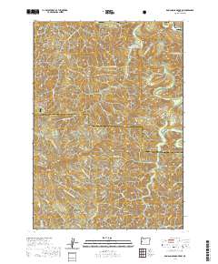
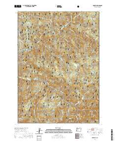
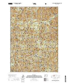
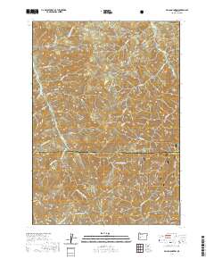
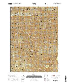
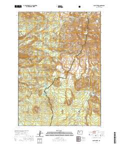
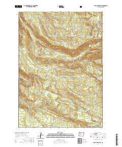
Editions of this 1959 Three Sisters Map
3 editions found
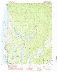
Historical Maps of Lane County Through Time
538 maps found
1920 Heceta Head
Lane County, OR
1920 Siltcoos Lake
Lane County, OR
1925 Waldo Lake
Lane County, OR
1941 Blachly
Lane County, OR

1941 Siltcoos Lake
Lane County, OR
1942 Blachly
Lane County, OR
1942 Crow
Lane County, OR
1942 Heceta Head
Lane County, OR

1942 Siltcoos Lake
Lane County, OR

1945 Crow
Lane County, OR
1951 Leaburg
Lane County, OR
1955 Blue River
Lane County, OR
1955 Chucksney Mtn
Lane County, OR
1955 Culp Creek
Lane County, OR
1955 Fairview Peak
Lane County, OR
1955 Hardesty Mtn
Lane County, OR
1955 Mc Kenzie Bridge
Lane County, OR
1956 Blachly
Lane County, OR
1956 Heceta Head
Lane County, OR
1956 Sardine Butte
Lane County, OR
1956 Siltcoos Lake
Lane County, OR
1956 Waldo Lake
Lane County, OR
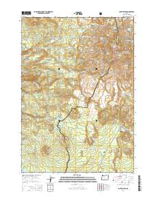
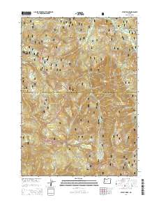
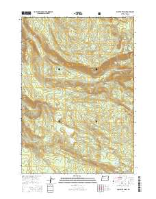
1959 Three Sisters
Lane County, OR
1963 Packsaddle Mtn
Lane County, OR
1967 Eugene East
Lane County, OR
1967 Eugene West
Lane County, OR
1967 Walterville
Lane County, OR
1975 Elmira SE
Lane County, OR
1975 Eugene East
Lane County, OR
1975 Eugene West
Lane County, OR
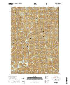
1984 Baldy Mtn
Lane County, OR
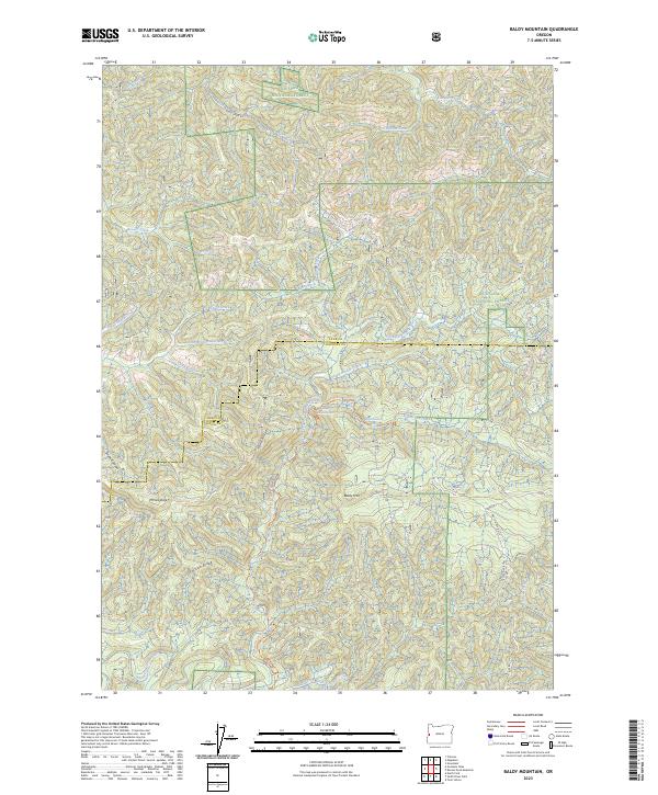
1984 Beaver Creek
Lane County, OR
1984 Clay Creek
Lane County, OR
1984 Crow
Lane County, OR
1984 Cummins Peak
Lane County, OR
1984 Fox Hollow
Lane County, OR
1984 Goodwin Peak
Lane County, OR
1984 Goose Pasture
Lane County, OR
1984 Greenleaf
Lane County, OR
1984 Heceta Head
Lane County, OR
1984 Herman Creek
Lane County, OR
1984 High Point
Lane County, OR
1984 Horton
Lane County, OR
1984 Letz Creek
Lane County, OR
1984 Lorane
Lane County, OR
1984 Mercer Lake
Lane County, OR
1984 Noti
Lane County, OR
1984 Roman Nose Mtn
Lane County, OR
1984 Tiernan
Lane County, OR
1984 Triangle Lake
Lane County, OR
1984 Walton
Lane County, OR
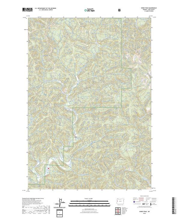
1984 Windy Peak
Lane County, OR
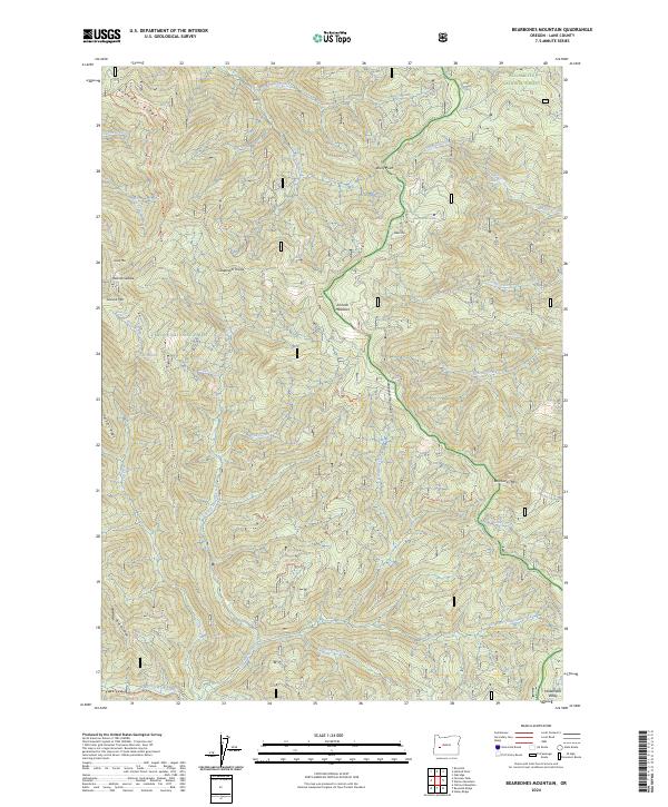
1986 Bearbones Mtn
Lane County, OR
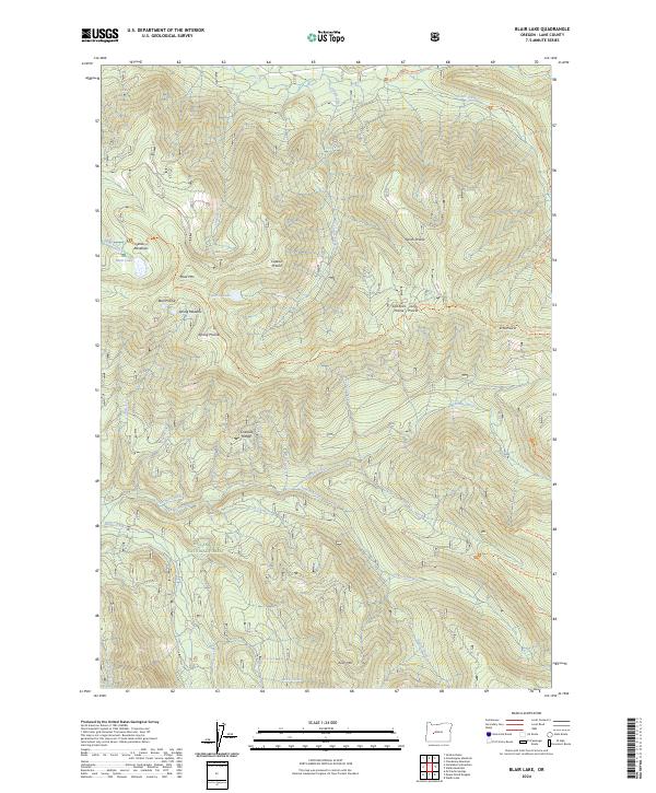
1986 Blair Lake
Lane County, OR
1986 Blue Mountain
Lane County, OR
1986 Burnt Mtn
Lane County, OR
1986 Chucksney Mountain
Lane County, OR
1986 Culp Creek
Lane County, OR
1986 Diamond Peak
Lane County, OR
1986 Dorena Lake
Lane County, OR
1986 Emigrant Butte
Lane County, OR
1986 Fairview Peak
Lane County, OR
1986 Fall Creek Lake
Lane County, OR
1986 Groundhog Mountain
Lane County, OR
1986 Holland Point
Lane County, OR
1986 Huckleberry Mtn
Lane County, OR
1986 Kloster Mtn
Lane County, OR
1986 Mc Credie Springs
Lane County, OR
1986 Mount June
Lane County, OR
1986 Mt. David Douglas
Lane County, OR
1986 Rigdon Point
Lane County, OR
1986 Rose Hill
Lane County, OR
1986 Saddleblanket Mountain
Lane County, OR
1986 Sardine Butte
Lane County, OR
1986 Silica Mtn
Lane County, OR
1986 Sinker Mtn
Lane County, OR
1986 Staley Ridge
Lane County, OR
1986 Waldo Lake
Lane County, OR
1986 Waldo Mountain
Lane County, OR
1986 Warner Mountain
Lane County, OR
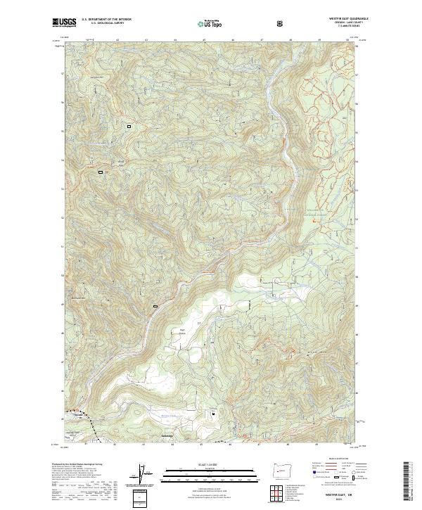
1986 Westfir East
Lane County, OR
1986 Westfir West
Lane County, OR
1987 Cottage Grove Lake
Lane County, OR
1987 Harness Mtn
Lane County, OR
1988 Goat Point
Lane County, OR
1988 Leaburg
Lane County, OR
1988 Linton Lake
Lane County, OR
1988 Mohawk
Lane County, OR
1988 Mount Nebo
Lane County, OR
1988 North Sister
Lane County, OR
1988 South Sister
Lane County, OR
1988 Substitute Point
Lane County, OR
1988 Vida
Lane County, OR
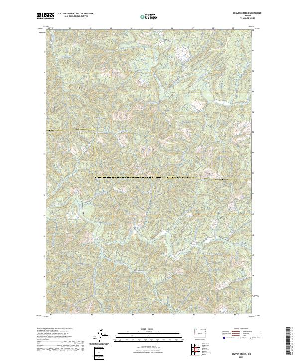
1989 Belknap Springs
Lane County, OR
1989 Blue River
Lane County, OR
1989 Cougar Reservoir
Lane County, OR
1989 French Mountain
Lane County, OR
1989 Harvey Mountain
Lane County, OR
1989 Mc Kenzie Bridge
Lane County, OR
1989 Mt. Hagan
Lane County, OR
1989 Nimrod
Lane County, OR
1989 Reynolds Ridge
Lane County, OR
1997 Bearbones Mountain
Lane County, OR
1997 Belknap Springs
Lane County, OR
1997 Blair Lake
Lane County, OR
1997 Blue River
Lane County, OR
1997 Chucksney Mountain
Lane County, OR
1997 Cougar Reservoir
Lane County, OR
1997 Diamond Peak
Lane County, OR
1997 Emigrant Butte
Lane County, OR
1997 Fairview Peak
Lane County, OR
1997 Fall Creek Lake
Lane County, OR
1997 French Mountain
Lane County, OR
1997 Goat Point
Lane County, OR
1997 Grasshopper Mountain
Lane County, OR
1997 Groundhog Mountain
Lane County, OR
1997 Harvey Mountain
Lane County, OR
1997 Huckleberry Mountain
Lane County, OR
1997 Linton Lake
Lane County, OR
1997 Mc Credie Springs
Lane County, OR
1997 Mc Kenzie Bridge
Lane County, OR
1997 Mount David Douglas
Lane County, OR
1997 Mount Hagan
Lane County, OR
1997 Mount June
Lane County, OR
1997 Nimrod
Lane County, OR
1997 North Sister
Lane County, OR
1997 Packsaddle Mountain
Lane County, OR
1997 Rigdon Point
Lane County, OR
1997 Saddleblanket Mountain
Lane County, OR
1997 Sardine Butte
Lane County, OR
1997 Sinker Mountain
Lane County, OR
1997 South Sister
Lane County, OR
1997 Staley Ridge
Lane County, OR
1997 Substitute Point
Lane County, OR
1997 Vida
Lane County, OR
1997 Waldo Lake
Lane County, OR
1997 Waldo Mountain
Lane County, OR
1997 Warner Mountain
Lane County, OR
1997 Westfir East
Lane County, OR
1997 Westfir West
Lane County, OR
1998 Reynolds Ridge
Lane County, OR
1998 Rose Hill
Lane County, OR
1998 Silica Mountain
Lane County, OR
2011 Baldy Mountain
Lane County, OR
2011 Bearbones Mountain
Lane County, OR
2011 Beaver Creek
Lane County, OR
2011 Belknap Springs
Lane County, OR
2011 Blair Lake
Lane County, OR
2011 Blue Mountain
Lane County, OR
2011 Blue River
Lane County, OR
2011 Burnt Mountain
Lane County, OR
2011 Chucksney Mountain
Lane County, OR
2011 Clay Creek
Lane County, OR
2011 Cottage Grove Lake
Lane County, OR
2011 Cougar Reservoir
Lane County, OR
2011 Crow
Lane County, OR
2011 Culp Creek
Lane County, OR
2011 Cummins Peak
Lane County, OR
2011 Diamond Peak
Lane County, OR
2011 Dorena Lake
Lane County, OR
2011 Emigrant Butte
Lane County, OR
2011 Eugene East
Lane County, OR
2011 Eugene West
Lane County, OR
2011 Fairview Peak
Lane County, OR
2011 Fall Creek Lake
Lane County, OR
2011 Fox Hollow
Lane County, OR
2011 French Mountain
Lane County, OR
2011 Goat Point
Lane County, OR
2011 Goodwin Peak
Lane County, OR
2011 Goose Pasture
Lane County, OR
2011 Grasshopper Mountain
Lane County, OR
2011 Greenleaf
Lane County, OR
2011 Groundhog Mountain
Lane County, OR
2011 Harness Mountain
Lane County, OR
2011 Harvey Mountain
Lane County, OR
2011 Heceta Head
Lane County, OR
2011 Heceta Head OE W
Lane County, OR
2011 Herman Creek
Lane County, OR
2011 High Point
Lane County, OR
2011 Holland Point
Lane County, OR
2011 Horton
Lane County, OR
2011 Huckleberry Mountain
Lane County, OR
2011 Kloster Mountain
Lane County, OR
2011 Leaburg
Lane County, OR
2011 Letz Creek
Lane County, OR
2011 Linton Lake
Lane County, OR
2011 Lorane
Lane County, OR
2011 McCredie Springs
Lane County, OR
2011 McKenzie Bridge
Lane County, OR
2011 Mercer Lake
Lane County, OR
2011 Mercer Lake OE W
Lane County, OR
2011 Mohawk
Lane County, OR
2011 Mount David Douglas
Lane County, OR
2011 Mount Hagan
Lane County, OR
2011 Mount June
Lane County, OR
2011 Mount Nebo
Lane County, OR
2011 Nimrod
Lane County, OR
2011 North Sister
Lane County, OR
2011 Noti
Lane County, OR
2011 Packsaddle Mountain
Lane County, OR
2011 Reynolds Ridge
Lane County, OR
2011 Rigdon Point
Lane County, OR
2011 Roman Nose Mountain
Lane County, OR
2011 Rose Hill
Lane County, OR
2011 Saddleblanket Mountain
Lane County, OR

2011 Sardine Butte
Lane County, OR
2011 Silica Mountain
Lane County, OR
2011 Sinker Mountain
Lane County, OR
2011 South Sister
Lane County, OR
2011 Staley Ridge
Lane County, OR
2011 Substitute Point
Lane County, OR
2011 Tiernan
Lane County, OR
2011 Triangle Lake
Lane County, OR
2011 Vida
Lane County, OR
2011 Waldo Lake
Lane County, OR
2011 Waldo Mountain
Lane County, OR
2011 Walterville
Lane County, OR

2011 Walton
Lane County, OR
2011 Warner Mountain
Lane County, OR
2011 Westfir East
Lane County, OR
2011 Westfir West
Lane County, OR
2011 Windy Peak
Lane County, OR
2014 Baldy Mountain
Lane County, OR
2014 Bearbones Mountain
Lane County, OR
2014 Beaver Creek
Lane County, OR
2014 Belknap Springs
Lane County, OR
2014 Blair Lake
Lane County, OR
2014 Blue Mountain
Lane County, OR
2014 Blue River
Lane County, OR
2014 Burnt Mountain
Lane County, OR
2014 Chucksney Mountain
Lane County, OR
2014 Clay Creek
Lane County, OR
2014 Cottage Grove Lake
Lane County, OR
2014 Cougar Reservoir
Lane County, OR
2014 Crow
Lane County, OR
2014 Culp Creek
Lane County, OR
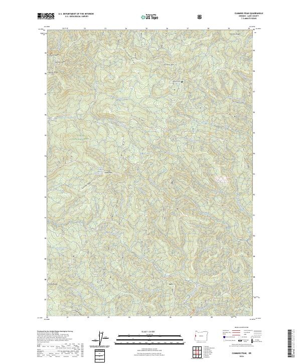
2014 Cummins Peak
Lane County, OR
2014 Diamond Peak
Lane County, OR
2014 Dorena Lake
Lane County, OR
2014 Emigrant Butte
Lane County, OR
2014 Eugene East
Lane County, OR
2014 Eugene West
Lane County, OR
2014 Fairview Peak
Lane County, OR
2014 Fall Creek Lake
Lane County, OR
2014 Fox Hollow
Lane County, OR
2014 French Mountain
Lane County, OR
2014 Goat Point
Lane County, OR
2014 Goodwin Peak
Lane County, OR
2014 Goose Pasture
Lane County, OR
2014 Grasshopper Mountain
Lane County, OR
2014 Greenleaf
Lane County, OR
2014 Groundhog Mountain
Lane County, OR
2014 Harness Mountain
Lane County, OR
2014 Harvey Mountain
Lane County, OR

2014 Heceta Head
Lane County, OR
2014 Heceta Head OE W
Lane County, OR
2014 Herman Creek
Lane County, OR
2014 High Point
Lane County, OR
2014 Holland Point
Lane County, OR
2014 Horton
Lane County, OR
2014 Huckleberry Mountain
Lane County, OR
2014 Kloster Mountain
Lane County, OR
2014 Leaburg
Lane County, OR
2014 Letz Creek
Lane County, OR
2014 Linton Lake
Lane County, OR
2014 Lorane
Lane County, OR
2014 McCredie Springs
Lane County, OR

2014 McKenzie Bridge
Lane County, OR
2014 Mercer Lake
Lane County, OR
2014 Mercer Lake OE W
Lane County, OR
2014 Mohawk
Lane County, OR
2014 Mount David Douglas
Lane County, OR
2014 Mount Hagan
Lane County, OR
2014 Mount June
Lane County, OR
2014 Mount Nebo
Lane County, OR
2014 Nimrod
Lane County, OR
2014 North Sister
Lane County, OR
2014 Noti
Lane County, OR
2014 Packsaddle Mountain
Lane County, OR
2014 Reynolds Ridge
Lane County, OR
2014 Rigdon Point
Lane County, OR
2014 Roman Nose Mountain
Lane County, OR
2014 Rose Hill
Lane County, OR
2014 Saddleblanket Mountain
Lane County, OR
2014 Sardine Butte
Lane County, OR
2014 Silica Mountain
Lane County, OR
2014 Sinker Mountain
Lane County, OR
2014 South Sister
Lane County, OR
2014 Staley Ridge
Lane County, OR
2014 Substitute Point
Lane County, OR
2014 Tiernan
Lane County, OR
2014 Triangle Lake
Lane County, OR
2014 Vida
Lane County, OR
2014 Waldo Lake
Lane County, OR
2014 Waldo Mountain
Lane County, OR
2014 Walterville
Lane County, OR
2014 Walton
Lane County, OR
2014 Warner Mountain
Lane County, OR
2014 Westfir East
Lane County, OR
2014 Westfir West
Lane County, OR
2014 Windy Peak
Lane County, OR
2017 Baldy Mountain
Lane County, OR
2017 Bearbones Mountain
Lane County, OR
2017 Beaver Creek
Lane County, OR
2017 Belknap Springs
Lane County, OR
2017 Blair Lake
Lane County, OR
2017 Blue Mountain
Lane County, OR
2017 Blue River
Lane County, OR
2017 Burnt Mountain
Lane County, OR
2017 Chucksney Mountain
Lane County, OR
2017 Clay Creek
Lane County, OR
2017 Cottage Grove Lake
Lane County, OR
2017 Cougar Reservoir
Lane County, OR
2017 Crow
Lane County, OR
2017 Culp Creek
Lane County, OR
2017 Cummins Peak
Lane County, OR
2017 Diamond Peak
Lane County, OR
2017 Dorena Lake
Lane County, OR
2017 Emigrant Butte
Lane County, OR
2017 Eugene East
Lane County, OR
2017 Eugene West
Lane County, OR
2017 Fairview Peak
Lane County, OR
2017 Fall Creek Lake
Lane County, OR

2017 Fox Hollow
Lane County, OR
2017 French Mountain
Lane County, OR
2017 Goat Point
Lane County, OR
2017 Goodwin Peak
Lane County, OR
2017 Goose Pasture
Lane County, OR

2017 Grasshopper Mountain
Lane County, OR
2017 Greenleaf
Lane County, OR
2017 Groundhog Mountain
Lane County, OR
2017 Harness Mountain
Lane County, OR
2017 Harvey Mountain
Lane County, OR
2017 Heceta Head
Lane County, OR
2017 Heceta Head OE W
Lane County, OR
2017 Herman Creek
Lane County, OR
2017 High Point
Lane County, OR
2017 Holland Point
Lane County, OR
2017 Horton
Lane County, OR
2017 Huckleberry Mountain
Lane County, OR
2017 Kloster Mountain
Lane County, OR
2017 Leaburg
Lane County, OR
2017 Letz Creek
Lane County, OR
2017 Linton Lake
Lane County, OR
2017 Lorane
Lane County, OR
2017 McCredie Springs
Lane County, OR
2017 McKenzie Bridge
Lane County, OR
2017 Mercer Lake
Lane County, OR
2017 Mercer Lake OE W
Lane County, OR
2017 Mohawk
Lane County, OR
2017 Mount David Douglas
Lane County, OR
2017 Mount Hagan
Lane County, OR
2017 Mount June
Lane County, OR
2017 Mount Nebo
Lane County, OR
2017 Nimrod
Lane County, OR
2017 North Sister
Lane County, OR
2017 Noti
Lane County, OR

2017 Packsaddle Mountain
Lane County, OR
2017 Reynolds Ridge
Lane County, OR
2017 Rigdon Point
Lane County, OR
2017 Roman Nose Mountain
Lane County, OR
2017 Rose Hill
Lane County, OR
2017 Saddleblanket Mountain
Lane County, OR
2017 Sardine Butte
Lane County, OR
2017 Silica Mountain
Lane County, OR
2017 Sinker Mountain
Lane County, OR
2017 South Sister
Lane County, OR
2017 Staley Ridge
Lane County, OR
2017 Substitute Point
Lane County, OR
2017 Tiernan
Lane County, OR
2017 Triangle Lake
Lane County, OR
2017 Vida
Lane County, OR
2017 Waldo Lake
Lane County, OR
2017 Waldo Mountain
Lane County, OR
2017 Walterville
Lane County, OR
2017 Walton
Lane County, OR
2017 Warner Mountain
Lane County, OR
2017 Westfir East
Lane County, OR
2017 Westfir West
Lane County, OR

2017 Windy Peak
Lane County, OR
2020 Baldy Mountain
Lane County, OR
2020 Bearbones Mountain
Lane County, OR
2020 Beaver Creek
Lane County, OR
2020 Belknap Springs
Lane County, OR
2020 Blair Lake
Lane County, OR
2020 Blue Mountain
Lane County, OR
2020 Blue River
Lane County, OR
2020 Burnt Mountain
Lane County, OR
2020 Chucksney Mountain
Lane County, OR
2020 Clay Creek
Lane County, OR
2020 Cottage Grove Lake
Lane County, OR
2020 Cougar Reservoir
Lane County, OR
2020 Crow
Lane County, OR
2020 Culp Creek
Lane County, OR
2020 Cummins Peak
Lane County, OR
2020 Diamond Peak
Lane County, OR
2020 Dorena Lake
Lane County, OR
2020 Emigrant Butte
Lane County, OR
2020 Eugene East
Lane County, OR
2020 Eugene West
Lane County, OR
2020 Fairview Peak
Lane County, OR
2020 Fall Creek Lake
Lane County, OR
2020 Fox Hollow
Lane County, OR
2020 French Mountain
Lane County, OR
2020 Goat Point
Lane County, OR
2020 Goodwin Peak
Lane County, OR
2020 Goose Pasture
Lane County, OR
2020 Grasshopper Mountain
Lane County, OR
2020 Greenleaf
Lane County, OR
2020 Groundhog Mountain
Lane County, OR
2020 Harness Mountain
Lane County, OR
2020 Harvey Mountain
Lane County, OR
2020 Heceta Head
Lane County, OR
2020 Heceta Head OE W
Lane County, OR
2020 Herman Creek
Lane County, OR
2020 High Point
Lane County, OR
2020 Holland Point
Lane County, OR
2020 Horton
Lane County, OR
2020 Huckleberry Mountain
Lane County, OR
2020 Kloster Mountain
Lane County, OR
2020 Leaburg
Lane County, OR
2020 Letz Creek
Lane County, OR
2020 Linton Lake
Lane County, OR
2020 Lorane
Lane County, OR
2020 McCredie Springs
Lane County, OR
2020 McKenzie Bridge
Lane County, OR
2020 Mercer Lake
Lane County, OR
2020 Mercer Lake OE W
Lane County, OR
2020 Mohawk
Lane County, OR
2020 Mount David Douglas
Lane County, OR
2020 Mount Hagan
Lane County, OR
2020 Mount June
Lane County, OR
2020 Mount Nebo
Lane County, OR
2020 Nimrod
Lane County, OR
2020 North Sister
Lane County, OR
2020 Noti
Lane County, OR
2020 Packsaddle Mountain
Lane County, OR
2020 Reynolds Ridge
Lane County, OR
2020 Rigdon Point
Lane County, OR
2020 Roman Nose Mountain
Lane County, OR
2020 Rose Hill
Lane County, OR
2020 Saddleblanket Mountain
Lane County, OR
2020 Sardine Butte
Lane County, OR
2020 Silica Mountain
Lane County, OR
2020 Sinker Mountain
Lane County, OR
2020 South Sister
Lane County, OR
2020 Staley Ridge
Lane County, OR
2020 Substitute Point
Lane County, OR
2020 Tiernan
Lane County, OR
2020 Triangle Lake
Lane County, OR
2020 Vida
Lane County, OR
2020 Waldo Lake
Lane County, OR
2020 Waldo Mountain
Lane County, OR
2020 Walterville
Lane County, OR
2020 Walton
Lane County, OR
2020 Warner Mountain
Lane County, OR
2020 Westfir East
Lane County, OR
2020 Westfir West
Lane County, OR
2020 Windy Peak
Lane County, OR
2023 Baldy Mountain
Lane County, OR
2023 Beaver Creek
Lane County, OR
2023 Belknap Springs
Lane County, OR
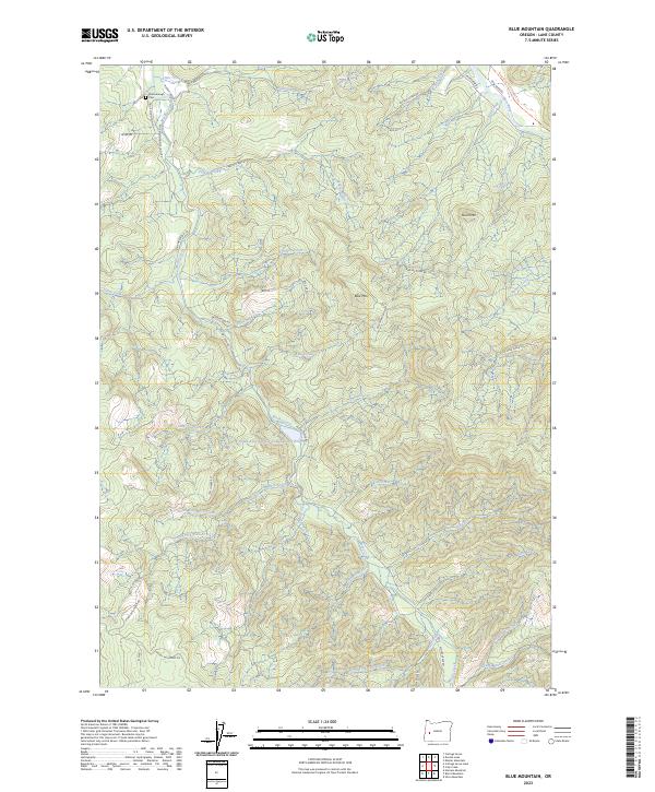
2023 Blue Mountain
Lane County, OR
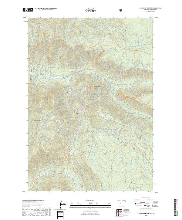
2023 Chucksney Mountain
Lane County, OR
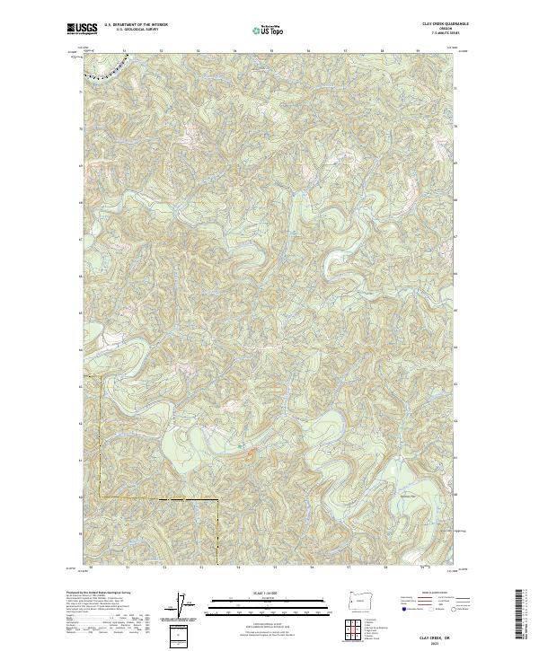
2023 Clay Creek
Lane County, OR
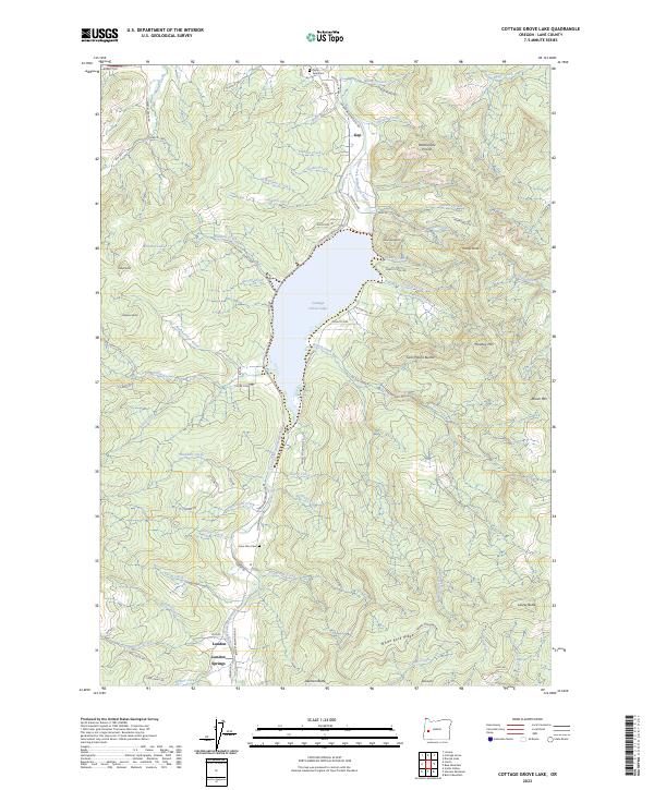
2023 Cottage Grove Lake
Lane County, OR
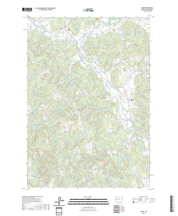
2023 Crow
Lane County, OR
2023 Emigrant Butte
Lane County, OR
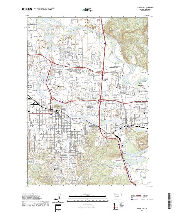
2023 Eugene East
Lane County, OR
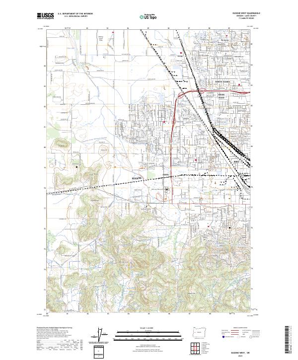
2023 Eugene West
Lane County, OR
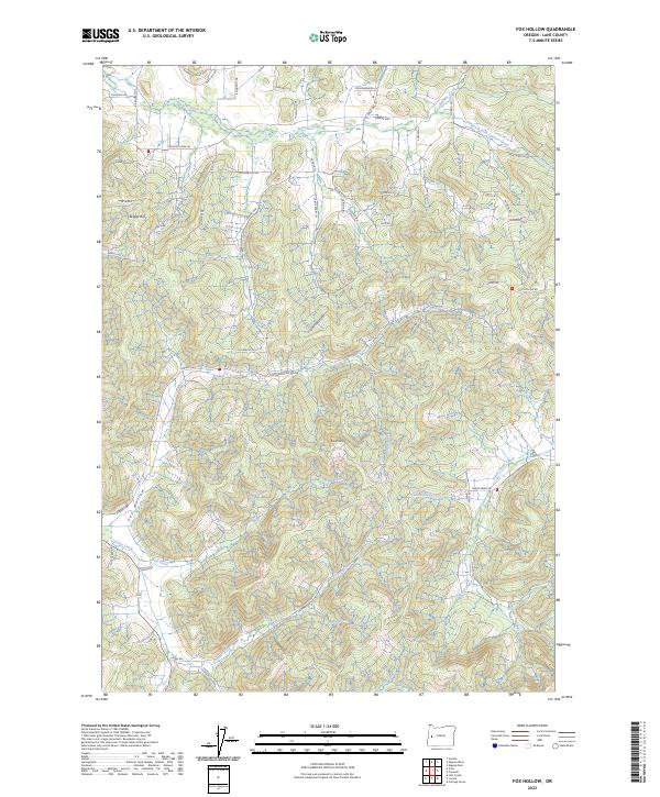
2023 Fox Hollow
Lane County, OR
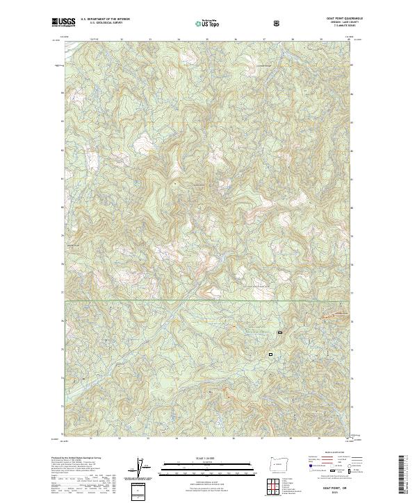
2023 Goat Point
Lane County, OR
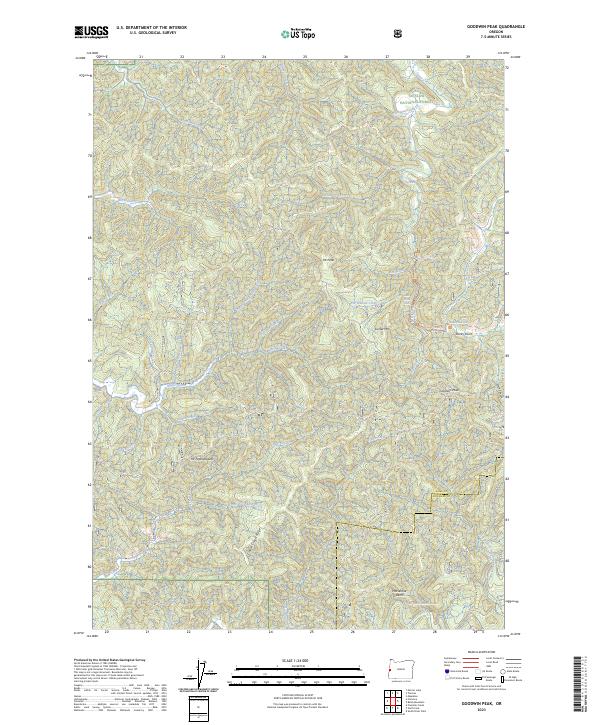
2023 Goodwin Peak
Lane County, OR
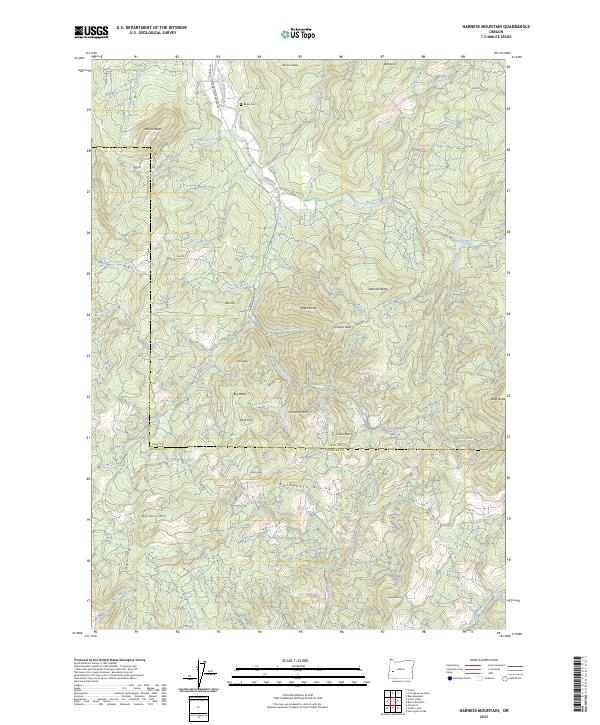
2023 Harness Mountain
Lane County, OR
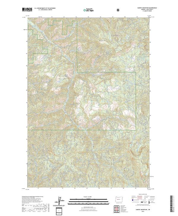
2023 Harvey Mountain
Lane County, OR
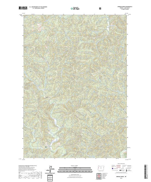
2023 Herman Creek
Lane County, OR
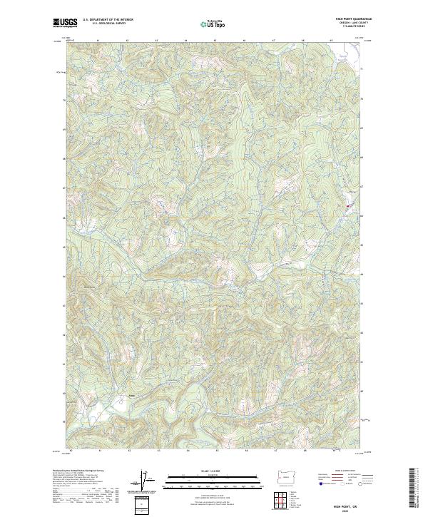
2023 High Point
Lane County, OR
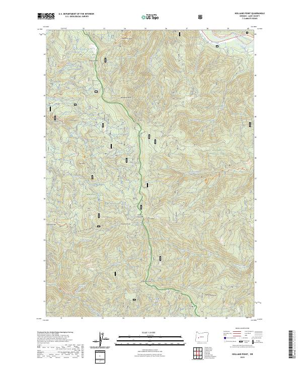
2023 Holland Point
Lane County, OR
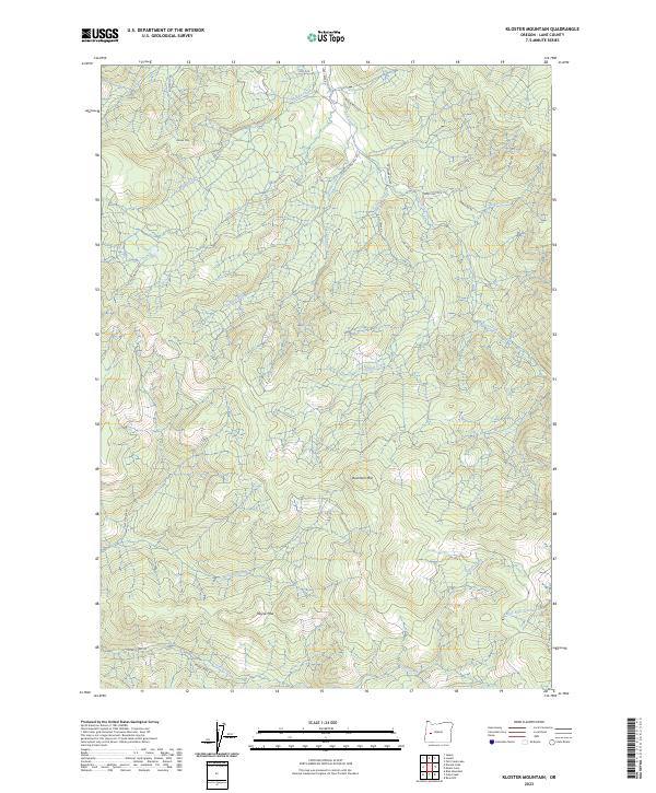
2023 Kloster Mountain
Lane County, OR
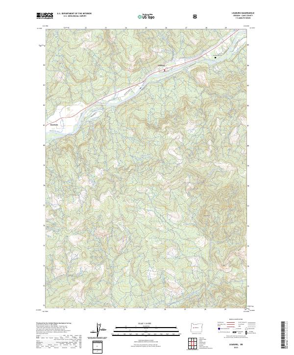
2023 Leaburg
Lane County, OR
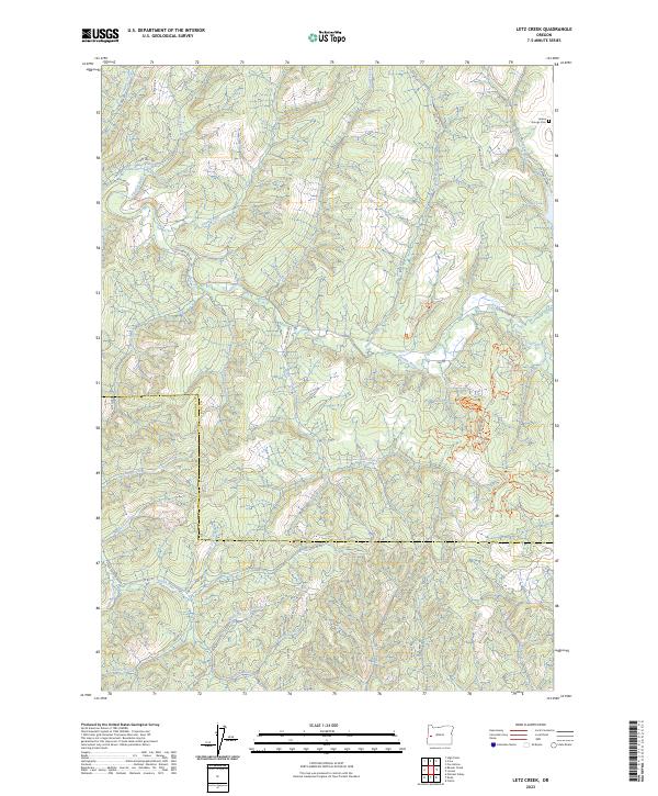
2023 Letz Creek
Lane County, OR
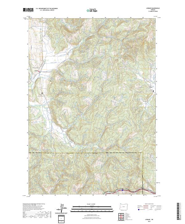
2023 Lorane
Lane County, OR
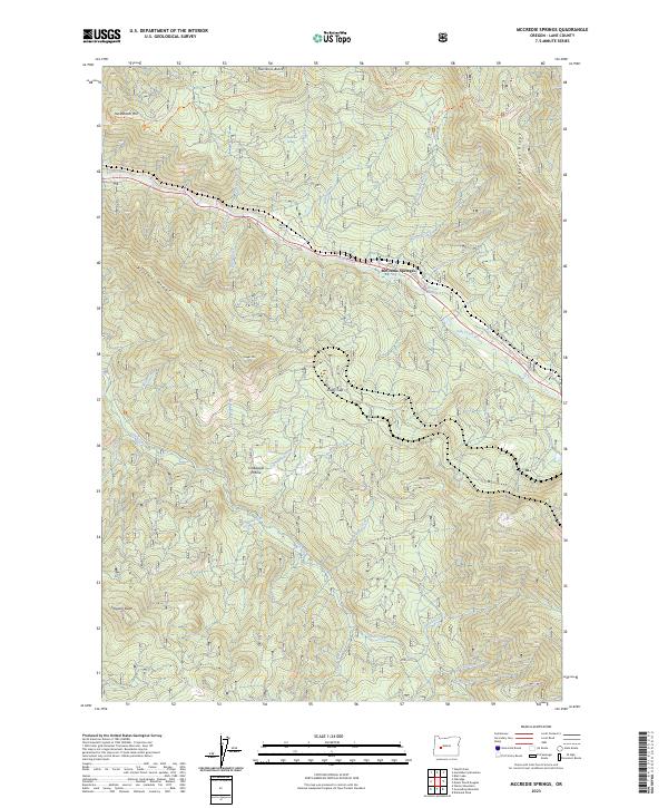
2023 McCredie Springs
Lane County, OR
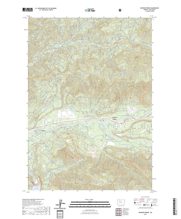
2023 McKenzie Bridge
Lane County, OR
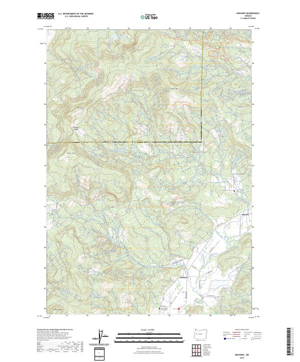
2023 Mohawk
Lane County, OR
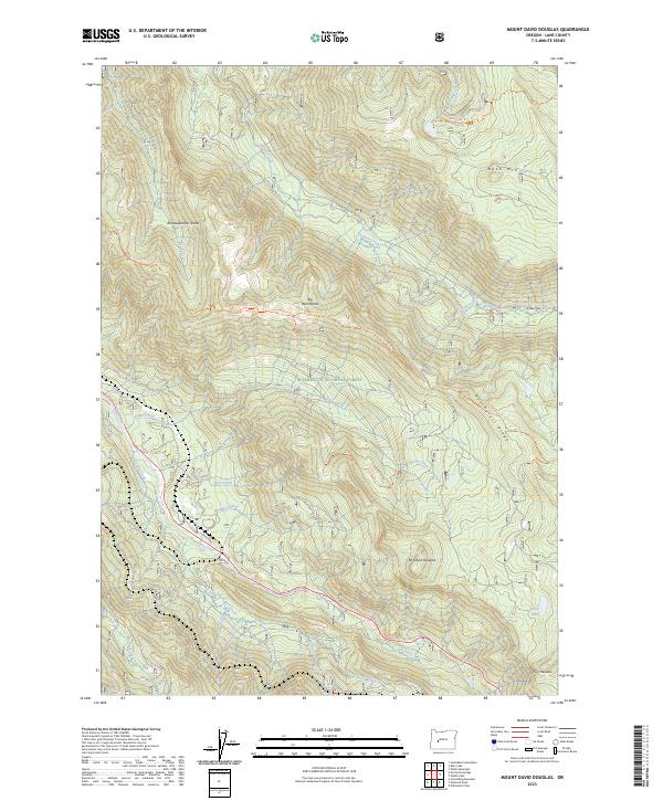
2023 Mount David Douglas
Lane County, OR
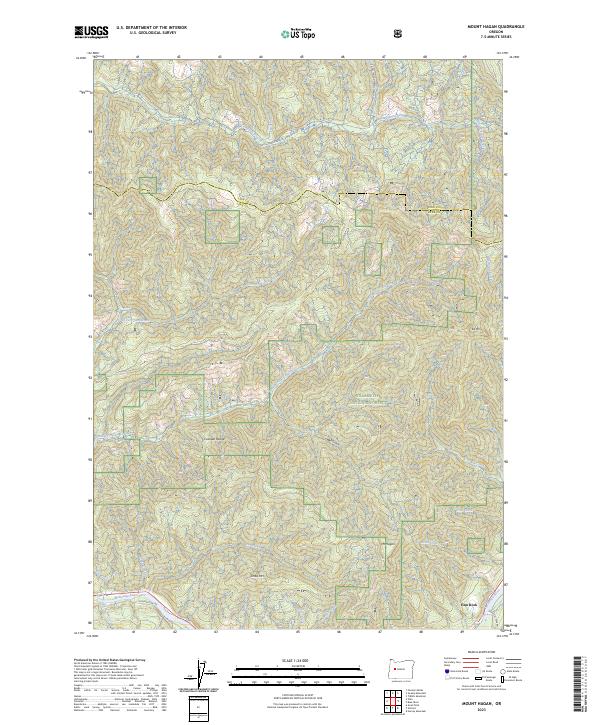
2023 Mount Hagan
Lane County, OR
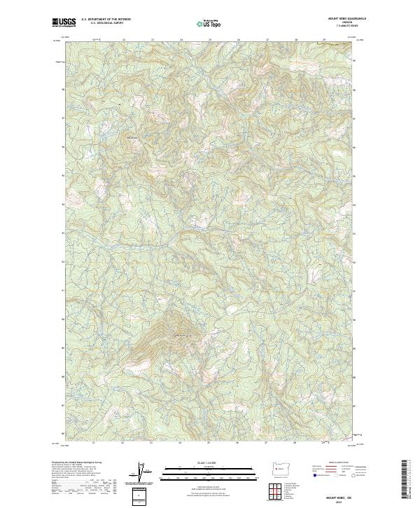
2023 Mount Nebo
Lane County, OR
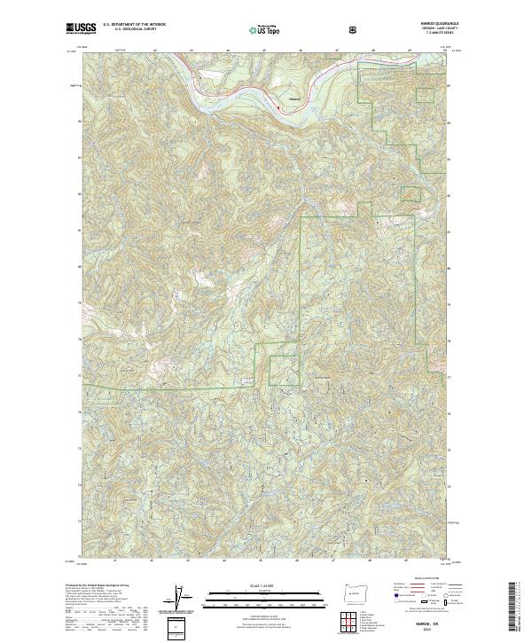
2023 Nimrod
Lane County, OR
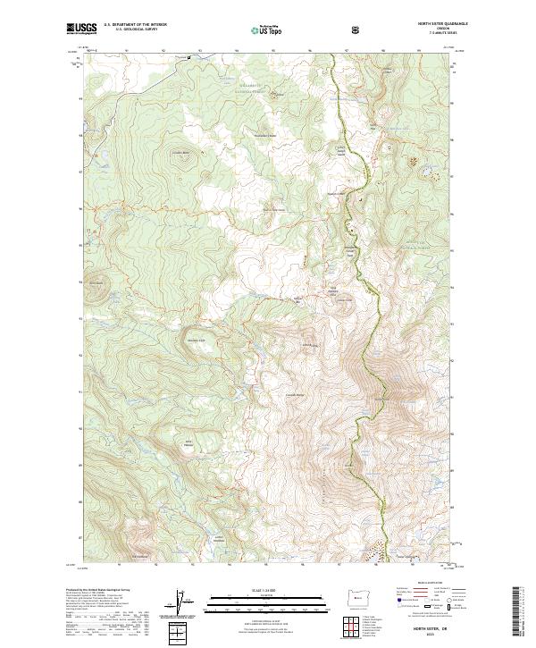
2023 North Sister
Lane County, OR
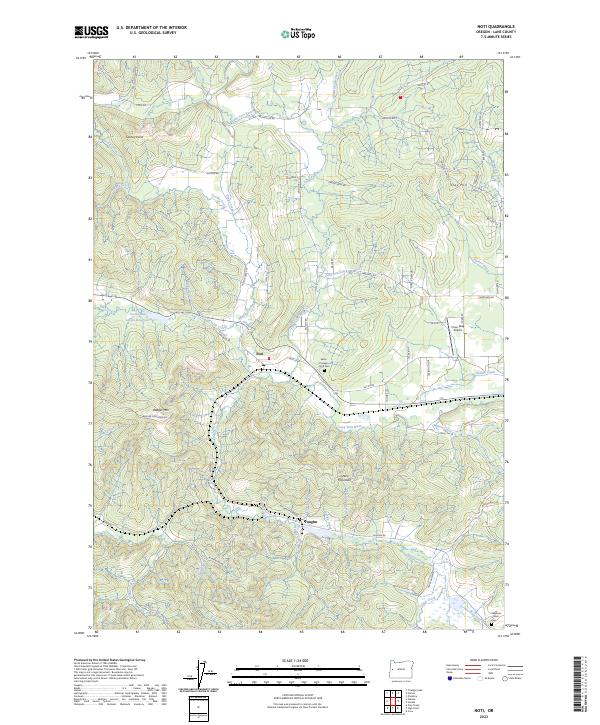
2023 Noti
Lane County, OR
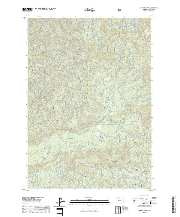
2023 Sardine Butte
Lane County, OR
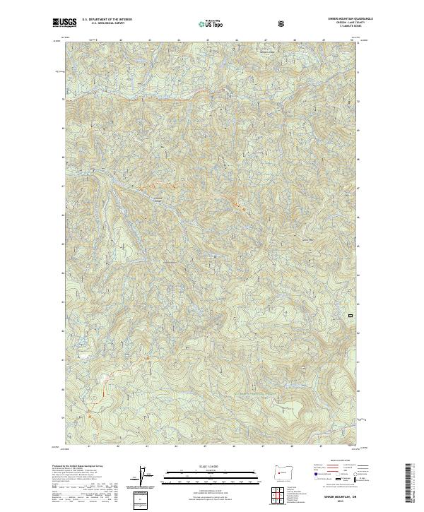
2023 Sinker Mountain
Lane County, OR
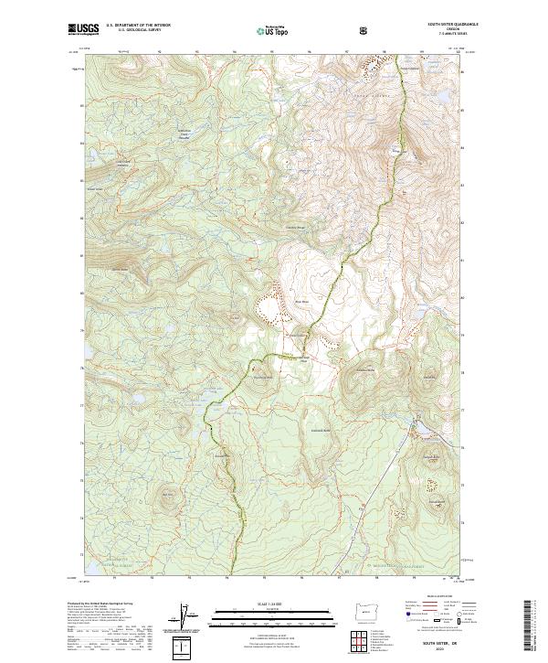
2023 South Sister
Lane County, OR
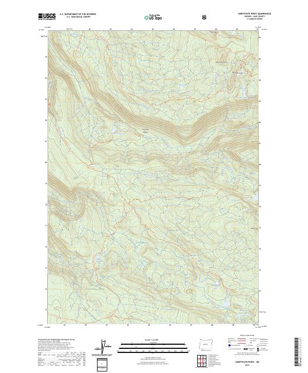
2023 Substitute Point
Lane County, OR
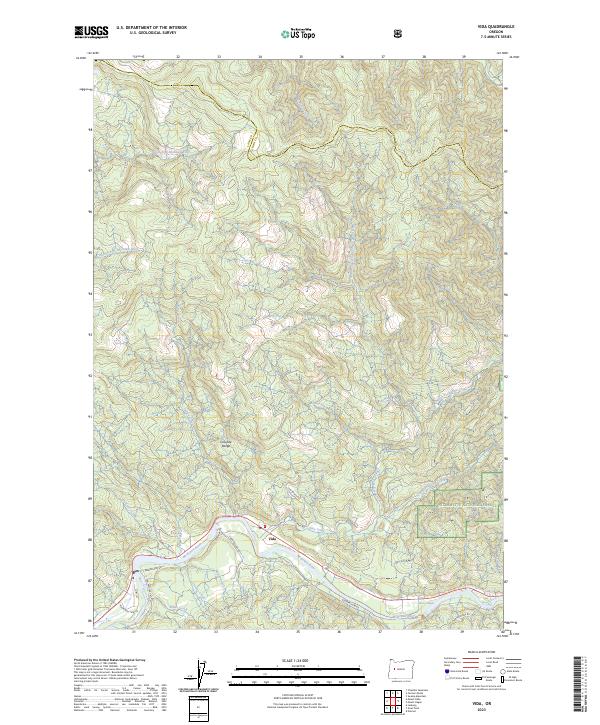
2023 Vida
Lane County, OR
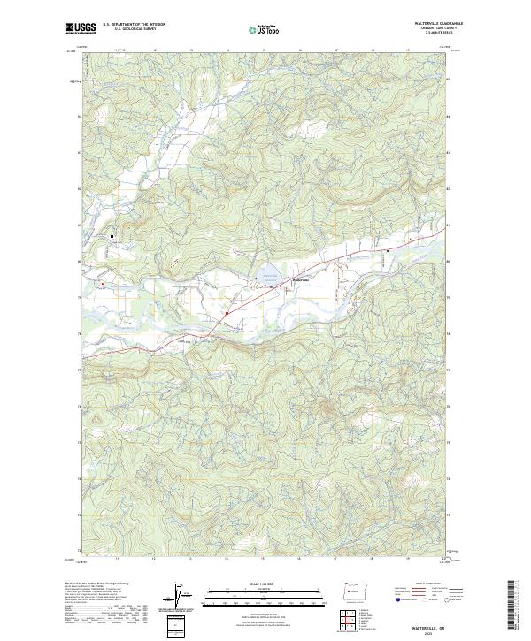
2023 Walterville
Lane County, OR
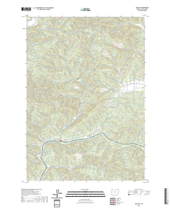
2023 Walton
Lane County, OR
2023 Westfir East
Lane County, OR
2023 Windy Peak
Lane County, OR
2024 Bearbones Mountain
Lane County, OR
2024 Blair Lake
Lane County, OR
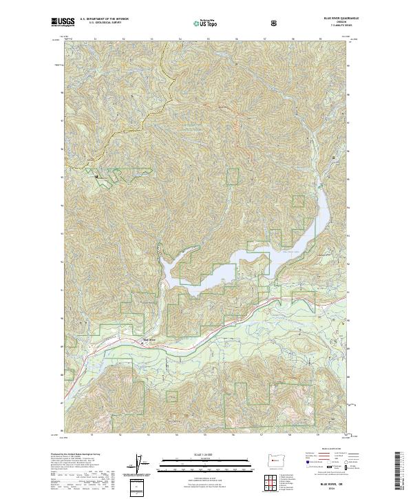
2024 Blue River
Lane County, OR
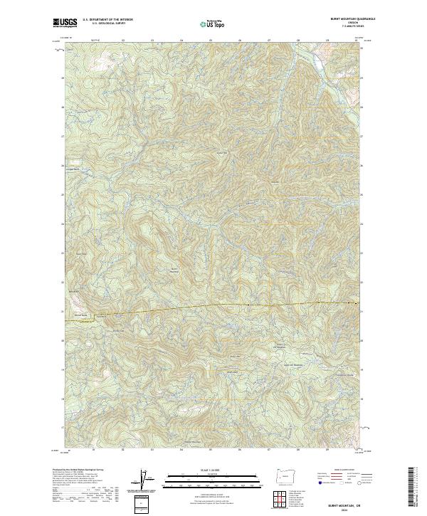
2024 Burnt Mountain
Lane County, OR
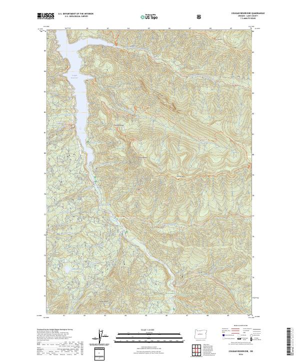
2024 Cougar Reservoir
Lane County, OR
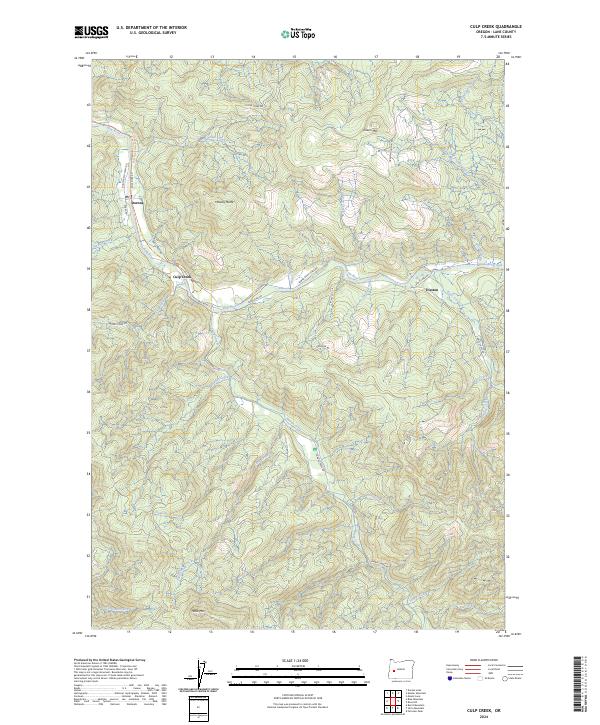
2024 Culp Creek
Lane County, OR
2024 Cummins Peak
Lane County, OR
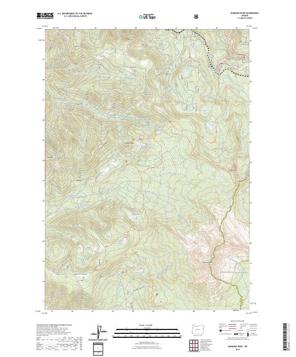
2024 Diamond Peak
Lane County, OR
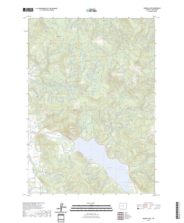
2024 Dorena Lake
Lane County, OR
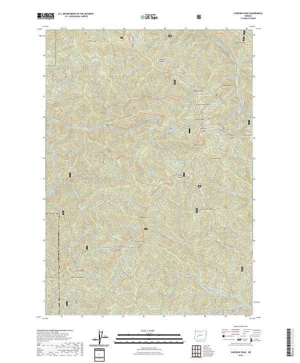
2024 Fairview Peak
Lane County, OR
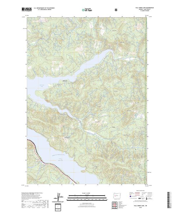
2024 Fall Creek Lake
Lane County, OR
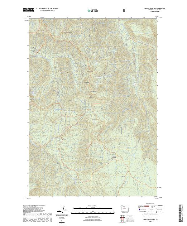
2024 French Mountain
Lane County, OR
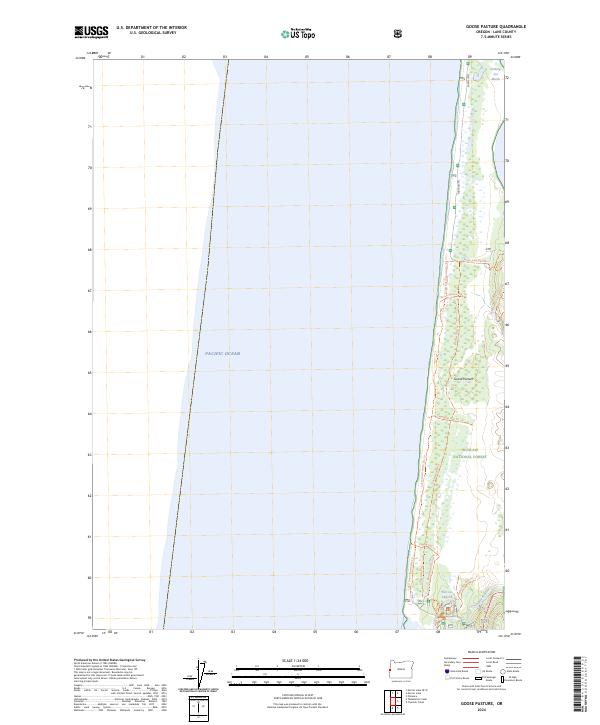
2024 Goose Pasture
Lane County, OR
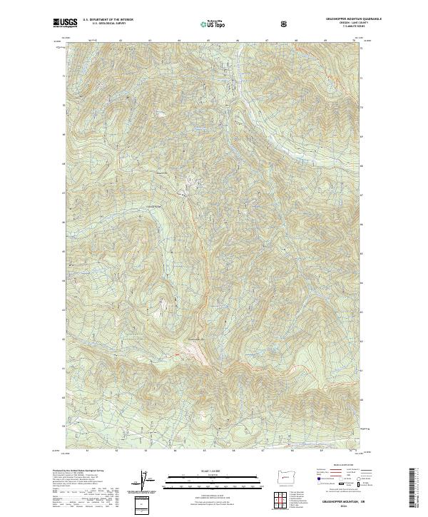
2024 Grasshopper Mountain
Lane County, OR
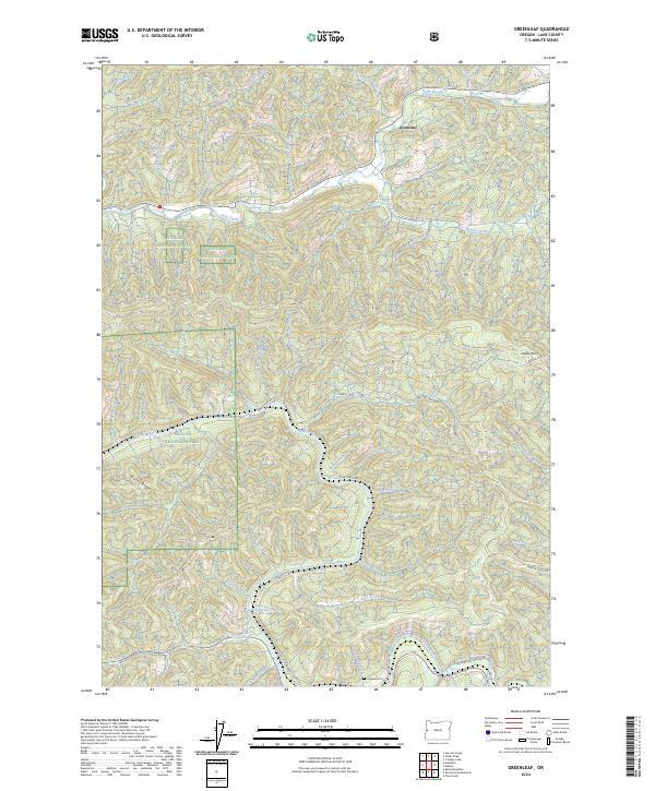
2024 Greenleaf
Lane County, OR
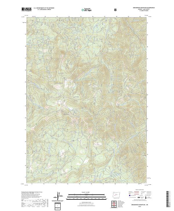
2024 Groundhog Mountain
Lane County, OR
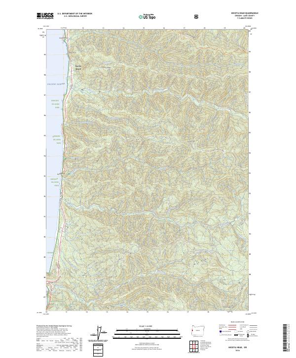
2024 Heceta Head
Lane County, OR
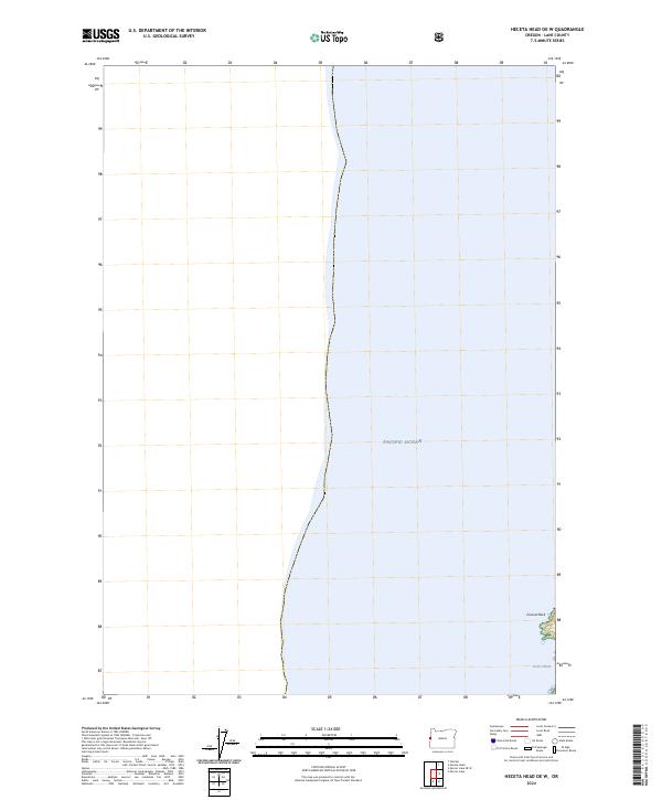
2024 Heceta Head OE W
Lane County, OR
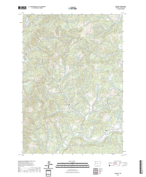
2024 Horton
Lane County, OR
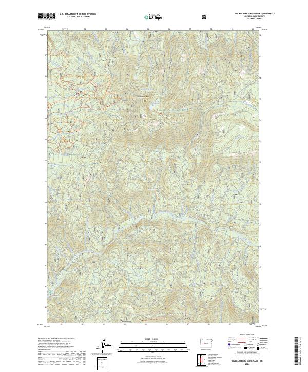
2024 Huckleberry Mountain
Lane County, OR
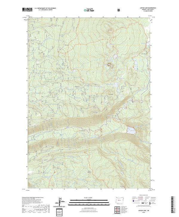
2024 Linton Lake
Lane County, OR
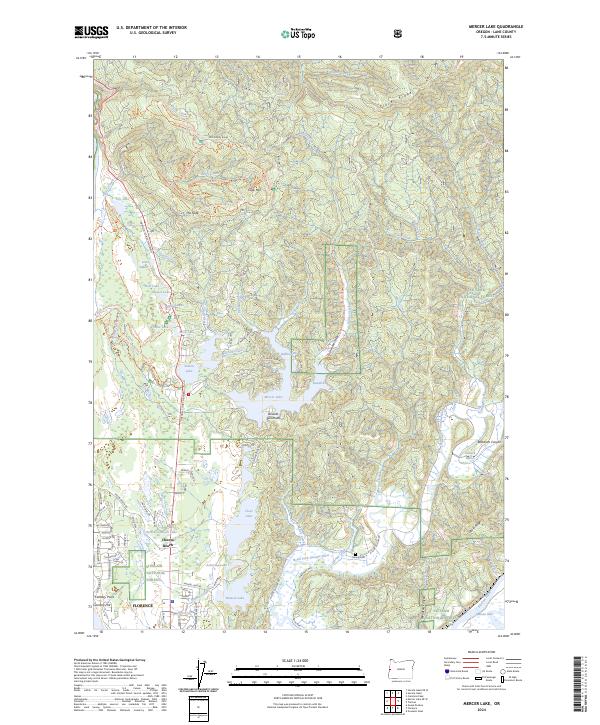
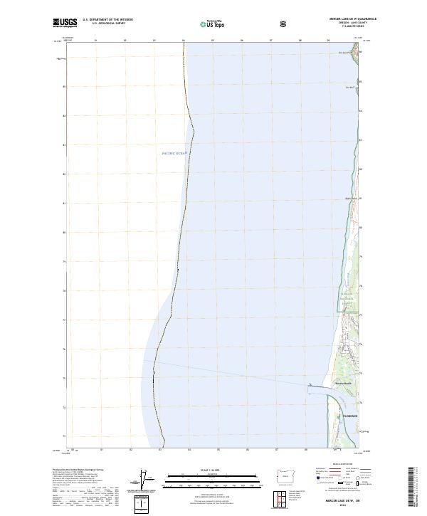
2024 Mercer Lake
Lane County, OR
2024 Mercer Lake OE W
Lane County, OR
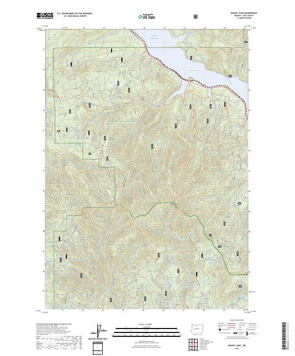
2024 Mount June
Lane County, OR
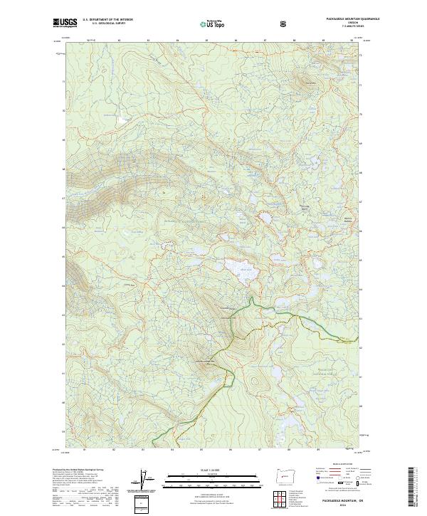
2024 Packsaddle Mountain
Lane County, OR
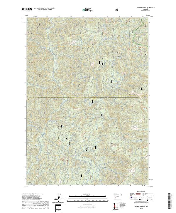
2024 Reynolds Ridge
Lane County, OR
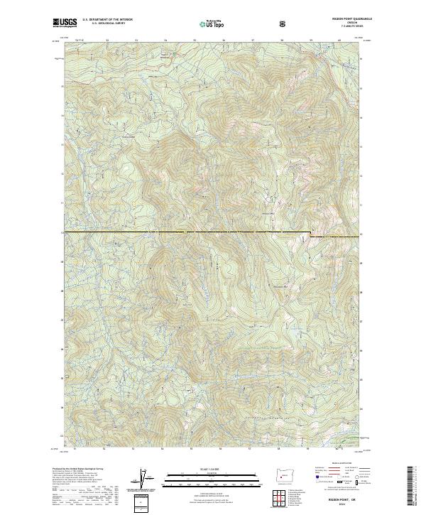
2024 Rigdon Point
Lane County, OR
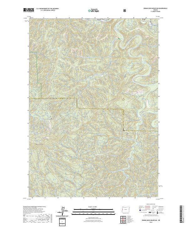
2024 Roman Nose Mountain
Lane County, OR
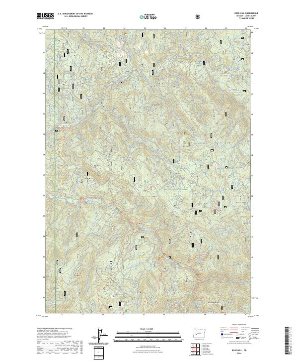
2024 Rose Hill
Lane County, OR
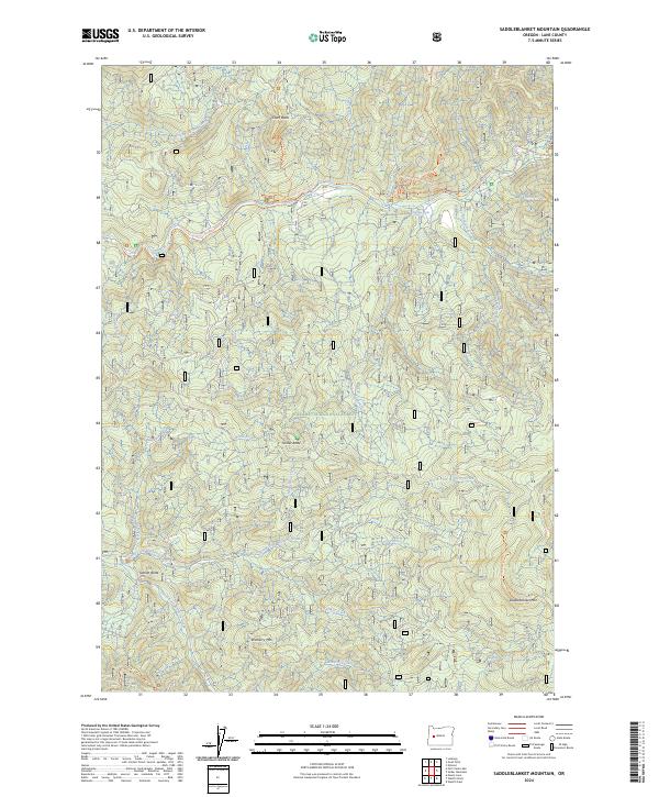
2024 Saddleblanket Mountain
Lane County, OR
2024 Silica Mountain
Lane County, OR
2024 Staley Ridge
Lane County, OR
2024 Tiernan
Lane County, OR
2024 Triangle Lake
Lane County, OR
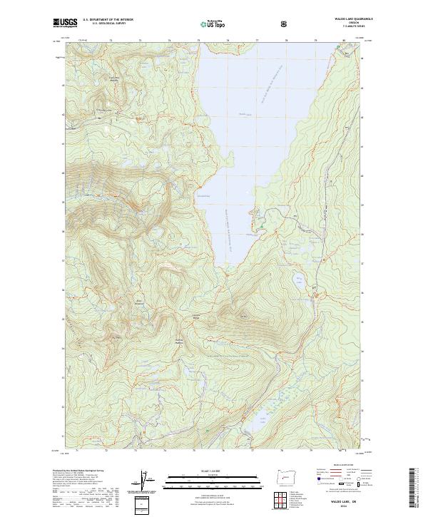
2024 Waldo Lake
Lane County, OR
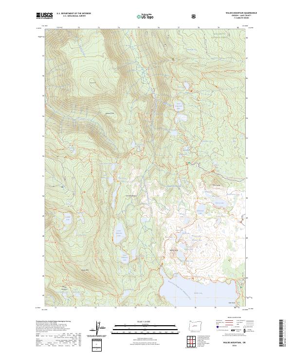
2024 Waldo Mountain
Lane County, OR
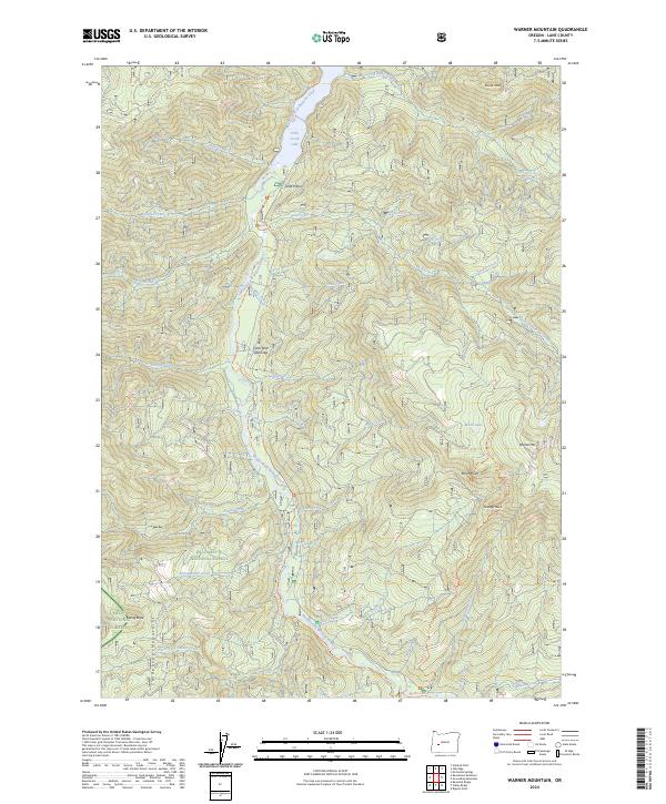
2024 Warner Mountain
Lane County, OR
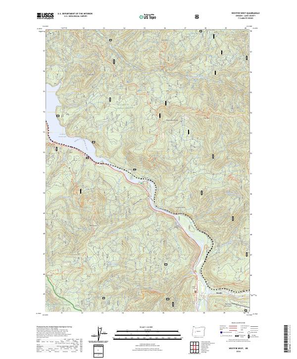
2024 Westfir West
Lane County, OR