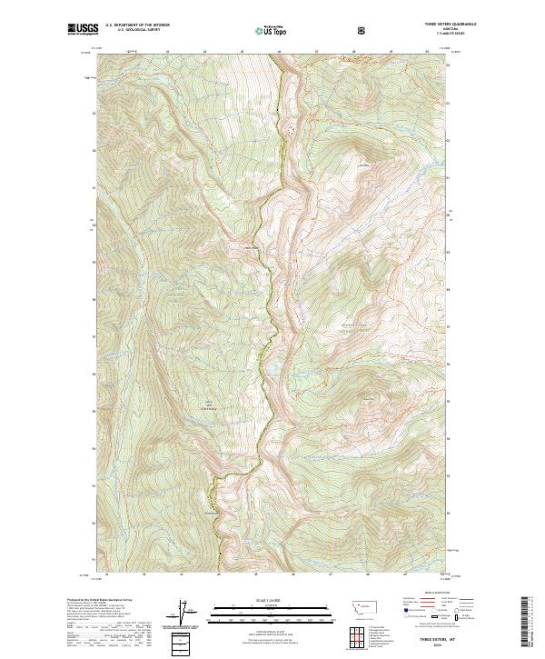
2024 Map of Three Sisters
USGS Topo · Published 2024About this map
Bob Marshall Wilderness and the Lewis and Clark Range dominate this high-country landscape, where the continental divide serves as a primary geographic axis. This 2024 map documents a complex drainage system flowing away from prominent peaks like Hahn Peak and Lick Mtn, feeding into the Spotted Bear River and Miners Creek. The area is defined by its extensive trail network rather than roads, with the Continental Divide National Scenic Trl traversing the terrain alongside localized routes such as the Three Sisters Trl and the Spotted Bear River Trl. Notable alpine water bodies including Lake Quiet, Sock Lake, and Hart Lake are scattered among the ridges. The survey clearly delineates the boundary between Flathead National Forest and Lewis & Clark National Forest, reflecting the managed wilderness character of the Three Sisters region.
Find a feature on this map
38 named features on this map. Tap any name to fly to it.
Don’t see what you’re looking for? This feature index may not catch every label — zoom into the map to look around manually.
Map Details
Editions of this 2024 Three Sisters Map
This is the sole edition of this map. No revisions or reprints were ever made.
Other maps of this area

1903 · Saypo
USGS Topo · 1:125,000

1936 · Silvertip
USGS Topo · 1:96,000

1942 · Silvertip
USGS Topo · 1:125,000

1955 · Choteau
USGS Topo · 1:250,000

1957 · Choteau
USGS Topo · 1:250,000

1958 · Choteau
USGS Topo · 1:250,000

1958 · Porphyry Reef
USGS Topo · 1:24,000

1958 · Glenn Creek
USGS Topo · 1:24,000

1958 · Gates Park
USGS Topo · 1:24,000

1962 · Choteau
USGS Topo · 1:250,000