
1958 Map of Gates Park
USGS Topo · Published 1960About this map
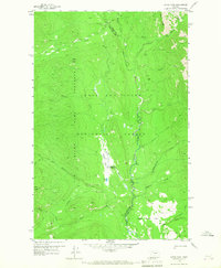
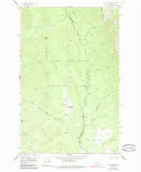
The Lewis and Clark National Forest defines this mountain landscape, which was meticulously mapped in the late 1950s. At the heart of the quadrangle lies Gates Park, an open valley serving as a focal point for wilderness management and access. The Gates Park Guard Station and a nearby Landing Strip (Private) indicate the administrative and logistical importance of this site for the forest service and early aviators. The terrain is a complex network of drainages including the Sun River and its North Fork Sun River, which carve through the high country. Landmarks like Rabbit Butte and Goat Ridge rise above a system of established trails, such as the Pack Trail routes that navigate between Biggs Creek Flat and Ninemile Park. This survey captures the backcountry before modern expansion, where the Game Preserve Boundary and county lines between Teton and Lewis and Clark counties dictated land use.
Find a feature on this map
30 named features on this map. Tap any name to fly to it.
Don’t see what you’re looking for? This feature index may not catch every label — zoom into the map to look around manually.
Map Details
Editions of this 1958 Gates Park Map
3 editions found
Other maps of this area

1903 · Saypo
USGS Topo · 1:125,000

1936 · Silvertip
USGS Topo · 1:96,000

1942 · Silvertip
USGS Topo · 1:125,000

1955 · Choteau
USGS Topo · 1:250,000

1957 · Choteau
USGS Topo · 1:250,000

1958 · Choteau
USGS Topo · 1:250,000

1958 · Porphyry Reef
USGS Topo · 1:24,000

1958 · Mount Wright
USGS Topo · 1:24,000

1958 · Our Lake
USGS Topo · 1:24,000

1958 · Glenn Creek
USGS Topo · 1:24,000