
1958 Map of Mount Wright
USGS Topo · Published 1959About this map
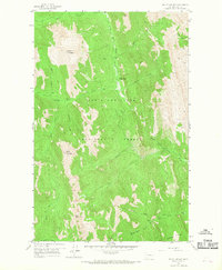
The Lewis and Clark National Forest defines this high-altitude landscape in the late 1950s, centered on the convergence of the North Fork Teton River and its various tributaries. This wilderness area, mapped through 1955 aerial photography and a 1958 field check, highlights a remote management and recreational network through features like the West Fork Ranger Station and the curiously named Empty Jug Cabin located near West Fork.
Find a feature on this map
24 named features on this map. Tap any name to fly to it.
Don’t see what you’re looking for? This feature index may not catch every label — zoom into the map to look around manually.
Map Details
Editions of this 1958 Mount Wright Map
3 editions found
Other maps of this area

1903 · Saypo
USGS Topo · 1:125,000

1914 · Heart Butte
USGS Topo · 1:125,000

1918 · Heart Butte
USGS Topo · 1:125,000

1955 · Choteau
USGS Topo · 1:250,000

1957 · Choteau
USGS Topo · 1:250,000

1958 · Choteau
USGS Topo · 1:250,000

1958 · Ear Mountain
USGS Topo · 1:24,000

1958 · Cave Mountain
USGS Topo · 1:24,000

1958 · Porphyry Reef
USGS Topo · 1:24,000

1958 · Our Lake
USGS Topo · 1:24,000