
1958 Map of Cave Mountain
USGS Topo · Published 1959About this map
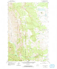
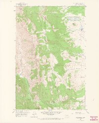
Lewis and Clark National Forest defines the western half of this Teton County survey, where the Front Range meets the plains. The landscape transitions from the high peaks of Choteau Mountain and Cave Mountain down into the intricate coulee systems of the east. This era of land use is marked by established cattle operations, notably the Burfening Ranch, Lazy P Ranch, and Cow Track Ranch, situated along the drainage of Muddy Creek.
Find a feature on this map
30 named features on this map. Tap any name to fly to it.
Don’t see what you’re looking for? This feature index may not catch every label — zoom into the map to look around manually.
Map Details
Editions of this 1958 Cave Mountain Map
3 editions found
Other maps of this area

1903 · Saypo
USGS Topo · 1:125,000

1914 · Heart Butte
USGS Topo · 1:125,000

1918 · Heart Butte
USGS Topo · 1:125,000

1955 · Choteau
USGS Topo · 1:250,000

1957 · Choteau
USGS Topo · 1:250,000

1958 · Choteau
USGS Topo · 1:250,000

1958 · Ear Mountain
USGS Topo · 1:24,000

1958 · Lake Theboe
USGS Topo · 1:24,000

1958 · Mount Wright
USGS Topo · 1:24,000
1958 · Twin Lakes
USGS Topo · 1:24,000