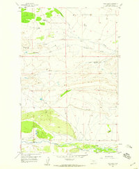
1958 Map of Twin Lakes
USGS Topo · Published 1959About this map
The Teton River flows along the southern edge of this landscape, where the Gaging Sta monitors the waterway near the Olson Ranch. This mid-century survey illustrates a sparse ranching economy in Teton County, defined by family-named holdings like the Knowlton Ranch and Hughes Ranch. Educational infrastructure is represented by the Blackleaf Sch in the northwest, serving the dispersed rural population. The terrain is deeply etched by a network of drainage systems, including Blindhorse Creek, Muddy Creek, and the Clark Fork. These watercourses dictate the placement of roads and homesteads, such as the Clark Brothers Ranch (Alma'd) and the Ostle Ranch, which are positioned near the creeks. The namesake Twin Lakes sit near the river's northern banks, providing a distinct landmark in an area of complex topographical relief.
Find a feature on this map
13 named features on this map. Tap any name to fly to it.
Don’t see what you’re looking for? This feature index may not catch every label — zoom into the map to look around manually.
Map Details
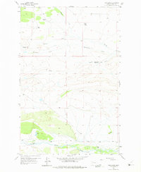
Editions of this 1958 Twin Lakes Map
2 editions found
Other maps of this area

1903 · Saypo
USGS Topo · 1:125,000

1914 · Heart Butte
USGS Topo · 1:125,000

1918 · Heart Butte
USGS Topo · 1:125,000

1920 · Choteau
USGS Topo · 1:125,000

1920 · Dupuyer
USGS Topo · 1:125,000

1936 · Pendroy
USGS Topo · 1:48,000

1941 · Pendroy
USGS Topo · 1:62,500

1955 · Choteau
USGS Topo · 1:250,000

1957 · Choteau
USGS Topo · 1:250,000

1958 · Choteau
USGS Topo · 1:250,000