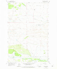
1958 Map of Twin Lakes
USGS Topo · Published 1975About this map
The Teton River flows across the southern edge of this Teton County landscape, where ranching and water management define the settlement pattern in the late 1950s. Named family holdings like the Knowlton Ranch, Ostle Ranch, and Pollock Ranch are scattered across a terrain drained by Muddy Creek and Blindhorse Creek. The map documents the shifting nature of these rural operations, noting the Clark Brothers Ranch (Aband) and several active sites such as the Hughes Ranch and Olson Ranch.
Find a feature on this map
15 named features on this map. Tap any name to fly to it.
Don’t see what you’re looking for? This feature index may not catch every label — zoom into the map to look around manually.
Map Details
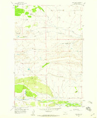
Editions of this 1958 Twin Lakes Map
2 editions found
Other maps of this area

1903 · Saypo
USGS Topo · 1:125,000

1914 · Heart Butte
USGS Topo · 1:125,000

1918 · Heart Butte
USGS Topo · 1:125,000

1920 · Choteau
USGS Topo · 1:125,000

1920 · Dupuyer
USGS Topo · 1:125,000

1936 · Pendroy
USGS Topo · 1:48,000

1941 · Pendroy
USGS Topo · 1:62,500

1955 · Choteau
USGS Topo · 1:250,000

1957 · Choteau
USGS Topo · 1:250,000

1958 · Choteau
USGS Topo · 1:250,000