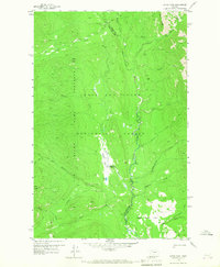
1958 Map of Gates Park
USGS Topo · Published 1967About this map
The Lewis and Clark National Forest encompasses this wilderness landscape, centered on the confluence of the Sun River and the North Fork Sun River. In the late 1950s, the area served as a remote outpost for forest management and wildlife protection, notably within the Lewis and Clark Game Preserve. The presence of the Gates Park Guard Station and a nearby Landing Strip (Private) indicates the logistical requirements of maintaining such an isolated backcountry territory. The map details an extensive network of travel routes, including a primary Route and various Pack Trails, which cross the mountainous terrain and pass landmarks like Rabbit Butte and Biggs Creek Flat. A solitary Footbridge over the river further highlights the reliance on primitive infrastructure for navigating this section of the Continental Divide's eastern slope.
Find a feature on this map
30 named features on this map. Tap any name to fly to it.
Don’t see what you’re looking for? This feature index may not catch every label — zoom into the map to look around manually.
Map Details
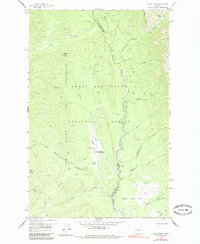
Editions of this 1958 Gates Park Map
3 editions found

Other maps of this area

1903 · Saypo
USGS Topo · 1:125,000

1936 · Silvertip
USGS Topo · 1:96,000

1942 · Silvertip
USGS Topo · 1:125,000

1955 · Choteau
USGS Topo · 1:250,000

1957 · Choteau
USGS Topo · 1:250,000

1958 · Choteau
USGS Topo · 1:250,000

1958 · Porphyry Reef
USGS Topo · 1:24,000

1958 · Mount Wright
USGS Topo · 1:24,000

1958 · Our Lake
USGS Topo · 1:24,000

1958 · Glenn Creek
USGS Topo · 1:24,000