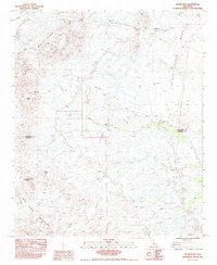
1983 Map of Thumb Peak
USGS Topo · Published 1983About this map
The Mule Mountains and Palo Verde Mountains dominate this arid landscape along the border of Riverside Co and Imperial Co. In the early 1980s, this area remained largely defined by its geologic features and resource extraction, notably the Opal Hill Mine, which is recorded as an open pit operation near Coon Hollow. The terrain is marked by a complex network of ephemeral drainages, including the prominent Sand Wash and Dry Wash, which descend toward the eastern Palo Verde Mesa.
Find a feature on this map
17 named features on this map. Tap any name to fly to it.
Don’t see what you’re looking for? This feature index may not catch every label — zoom into the map to look around manually.
Map Details
Editions of this 1983 Thumb Peak Map
2 editions found
Other maps of this area

1942 · Blythe
USGS Topo · 1:250,000

1945 · Cibola
USGS Topo · 1:62,500

1951 · Cibola
USGS Topo · 1:62,500

1952 · Mc Coy Spring
USGS Topo · 1:62,500

1952 · Palo Verde
USGS Topo · 1:24,000

1952 · Ripley
USGS Topo · 1:24,000

1953 · Palo Verde Mountains
USGS Topo · 1:62,500

1954 · Salton Sea
USGS Topo · 1:250,000

1955 · Salton Sea
USGS Topo · 1:250,000
1955 · Cibola
USGS Topo · 1:24,000