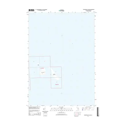
2014 Map of Thunder Bay Island
USGS Topo · Published 2014About this map
Thunder Bay Island and its smaller neighbors, Sugar Island and Gull Island, are depicted here within the waters of Lake Huron. This 2014 survey captures these landforms as they existed in the early 21st century, showing the precise shapes of the island chain off the Michigan coast. The map provides a look at the surrounding maritime geography, which includes portions of t31n r10e and t30n r10e. Because these islands are separated from the Alpena County mainland, the sheet focuses almost entirely on the hydrography and the natural terrain of the three primary islands. The proximity of Sugar Island to the larger Thunder Bay Island suggests a geological connection in this portion of the lake, offering a clear reference for researchers studying the offshore features of the Thunder Bay region.
Find a feature on this map
13 named features on this map. Tap any name to fly to it.
Don’t see what you’re looking for? This feature index may not catch every label — zoom into the map to look around manually.
Map Details
Editions of this 2014 Thunder Bay Island Map
This is the sole edition of this map. No revisions or reprints were ever made.
Other maps of this area

1954 · Tawas City
USGS Topo · 1:250,000

1954 · Alpena
USGS Topo · 1:250,000

1957 · Alpena
USGS Topo · 1:250,000

1958 · Alpena
USGS Topo · 1:250,000

1958 · Tawas City
USGS Topo · 1:250,000

1969 · Alpena
USGS Topo · 1:250,000
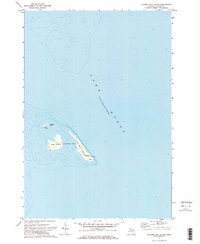
1971 · Thunder Bay Island
USGS Topo · 1:24,000

1971 · Middle Island
USGS Topo · 1:24,000

1971 · North Point
USGS Topo · 1:24,000
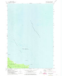
1971 · South Point
USGS Topo · 1:24,000