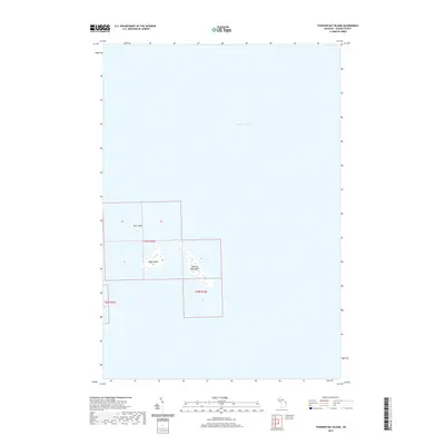
2019 Map of Thunder Bay Island
USGS Topo · Published 2019About this map
Thunder Bay Island and its smaller neighbors, Sugar Island and Gull Island, occupy a isolated position within the vast waters of Lake Huron on this 2019 survey. These islands represent the easternmost reach of Alpena County, situated within the Public Land Survey System designations of t31n r10e and t30n r10e. This map highlights the unique maritime geography of the area, detailing the specific shapes and relative positions of these landmasses away from the mainland. The lack of inland features or infrastructure on the islands emphasizes their character as preserved natural landforms surrounded by the Great Lakes' open waters.
Find a feature on this map
6 named features on this map. Tap any name to fly to it.
Don’t see what you’re looking for? This feature index may not catch every label — zoom into the map to look around manually.
Map Details
Editions of this 2019 Thunder Bay Island Map
This is the sole edition of this map. No revisions or reprints were ever made.
Other maps of this area

1954 · Tawas City
USGS Topo · 1:250,000

1954 · Alpena
USGS Topo · 1:250,000

1957 · Alpena
USGS Topo · 1:250,000

1958 · Alpena
USGS Topo · 1:250,000

1958 · Tawas City
USGS Topo · 1:250,000

1969 · Alpena
USGS Topo · 1:250,000
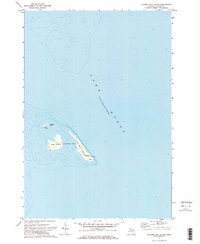
1971 · Thunder Bay Island
USGS Topo · 1:24,000

1971 · Middle Island
USGS Topo · 1:24,000

1971 · North Point
USGS Topo · 1:24,000
1971 · South Point
USGS Topo · 1:24,000