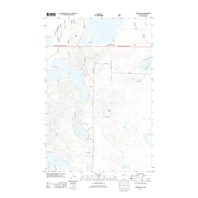
2013 Map of Thunder Lake
USGS Topo · Published 2013About this map
Chippewa National Forest encompasses much of this glacial landscape in Cass County, defined by a dense network of lakes and marshes. The central corridor is anchored by State 6 NE, which passes Thunder Lake and the smaller Pug Hole Lake. A notable high point is marked by the Draper Lookout Tower, reached by Draper Tower Rd NE, offering a strategic vantage point over the surrounding lake country.
Find a feature on this map
52 named features on this map. Tap any name to fly to it.
Don’t see what you’re looking for? This feature index may not catch every label — zoom into the map to look around manually.
Map Details
Editions of this 2013 Thunder Lake Map
This is the sole edition of this map. No revisions or reprints were ever made.
Other maps of this area

1953 · Duluth
USGS Topo · 1:250,000

1953 · Brainerd
USGS Topo · 1:250,000

1954 · Bemidji
USGS Topo · 1:250,000

1954 · Hibbing
USGS Topo · 1:250,000

1957 · Brainerd
USGS Topo · 1:250,000

1957 · Bemidji
USGS Topo · 1:250,000

1957 · Hibbing
USGS Topo · 1:250,000

1958 · Bemidji
USGS Topo · 1:250,000

1958 · Hibbing
USGS Topo · 1:250,000

1958 · Brainerd
USGS Topo · 1:250,000