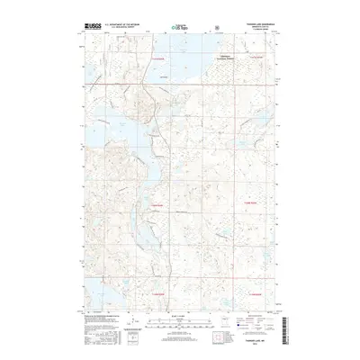
2016 Map of Thunder Lake
USGS Topo · Published 2016About this map
The Chippewa National Forest encompasses a significant portion of this landscape, defining a region where water and timbered wetlands dominate. Large bodies of water like Thunder Lake and Washburn Lake are central landmarks, connected by a network of forest routes and local roads. The map highlights a complex aquatic system, including the Willow River in the northeast and the isolated Big Rice Lake featuring Low Island.
Find a feature on this map
56 named features on this map. Tap any name to fly to it.
Don’t see what you’re looking for? This feature index may not catch every label — zoom into the map to look around manually.
Map Details
Editions of this 2016 Thunder Lake Map
This is the sole edition of this map. No revisions or reprints were ever made.
Other maps of this area

1953 · Duluth
USGS Topo · 1:250,000

1953 · Brainerd
USGS Topo · 1:250,000

1954 · Bemidji
USGS Topo · 1:250,000

1954 · Hibbing
USGS Topo · 1:250,000

1957 · Brainerd
USGS Topo · 1:250,000

1957 · Bemidji
USGS Topo · 1:250,000

1957 · Hibbing
USGS Topo · 1:250,000

1958 · Bemidji
USGS Topo · 1:250,000

1958 · Hibbing
USGS Topo · 1:250,000

1958 · Brainerd
USGS Topo · 1:250,000