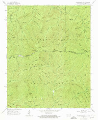
1964 Map of Thunderhead Mtn
USGS Topo · Published 1974About this map
The Great Smoky Mountains high country along the border of Tennessee and North Carolina is defined here by the winding Appalachian Trail. During the mid-1960s, this landscape remained a dense network of ridges and deep drainage basins, centered on prominent peaks like Thunderhead Mtn and the well-known Rocky Top. The map reveals the intricate topographic detail of the Smokies before heavy modern foot traffic, showing the primitive state of landmarks such as the Spence Field Shelter and Bote Mountain Road.
Find a feature on this map
115 named features on this map. Tap any name to fly to it.
Don’t see what you’re looking for? This feature index may not catch every label — zoom into the map to look around manually.
Map Details
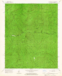
Editions of this 1964 Thunderhead Mtn Map
2 editions found
Other maps of this area

1886 · Knoxville
USGS Topo · 1:125,000

1892 · Knoxville
USGS Topo · 1:125,000

1894 · Knoxville
USGS Topo · 1:125,000

1895 · Knoxville
USGS Topo · 1:125,000

1901 · Knoxville
USGS Topo · 1:125,000

1933 · Bushnell
USGS Topo · 1:62,500

1935 · Fontana
USGS Topo · 1:24,000

1936 · Proctor
USGS Topo · 1:24,000
1936 · Gatlinburg
USGS Topo · 1:24,000
1936 · Judson
USGS Topo · 1:24,000