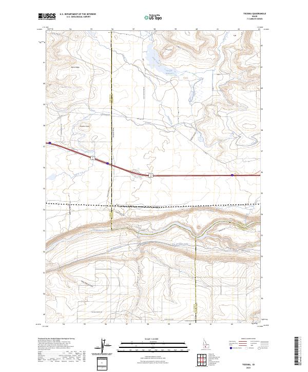
2023 Map of Ticeska
USGS Topo · Published 2023About this map
Snake River geography dominates this modern survey, where the river carves a deep canyon floor between the basalt-topped plateaus of the Snake River Plain. This area sits at a triple-county junction where Elmore, Gooding, and Twin Falls counties meet. The landscape reflects a sophisticated irrigation network essential to regional agriculture, featuring the King Hill Main Canal, the Y Canal, and several laterals like Lateral Y-9 and Lateral Y-8.
Find a feature on this map
38 named features on this map. Tap any name to fly to it.
Don’t see what you’re looking for? This feature index may not catch every label — zoom into the map to look around manually.
Map Details
Editions of this 2023 Ticeska Map
This is the sole edition of this map. No revisions or reprints were ever made.
Other maps of this area

1892 · Camas Prairie
USGS Topo · 1:125,000

1893 · Camas Prairie
USGS Topo · 1:125,000

1947 · Pasadena Valley
USGS Topo · 1:24,000

1948 · Pasadena Valley
USGS Topo · 1:24,000

1948 · Twentymile Butte
USGS Topo · 1:24,000

1948 · Ticeska
USGS Topo · 1:24,000

1949 · Ticeska
USGS Topo · 1:24,000

1949 · Pasadena Valley
USGS Topo · 1:62,500

1949 · Bliss
USGS Topo · 1:24,000

1949 · Hagerman
USGS Topo · 1:24,000