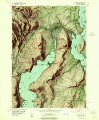
1950 Map of Ticonderoga
USGS Topo · Published 1955About this map
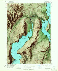
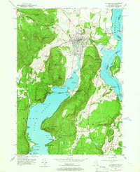
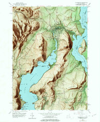
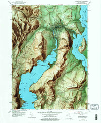
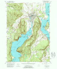
Fort Ticonderoga stands as the historic centerpiece of this mid-century survey, guarding the strategic narrows where Lake Champlain meets the waters flowing from Lake George. The landscape is defined by the sharp rise of South Mountain and Mt Defiance, overlooking the village of Ticonderoga and its industrial corridor along Ticonderoga Creek. Local history is deeply etched into the hills, from the inactive graphite and mineral workings at Lead Hill to the scattered rural landmarks like Lower Chilson Sch and Log Chapel. Transportation networks of the era are clearly visible, including the Delaware and Hudson railroad line and the Larrabees Point Ferry crossing into Vermont. For genealogists, the map preserves the locations of several burial grounds, such as Mt Hope Cem and Meadow Knoll Cem, alongside established institutional sites like Camp Adirondack and the Ticonderoga Country Club.
Find a feature on this map
77 named features on this map. Tap any name to fly to it.
Don’t see what you’re looking for? This feature index may not catch every label — zoom into the map to look around manually.
Map Details
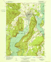
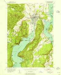
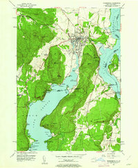
Editions of this 1950 Ticonderoga Map
9 editions found
Other maps of this area

1893 · Whitehall
USGS Topo · 1:62,500

1894 · Ticonderoga
USGS Topo · 1:62,500

1895 · Whitehall
USGS Topo · 1:62,500

1895 · Paradox Lake
USGS Topo · 1:62,500

1896 · Ticonderoga
USGS Topo · 1:62,500

1897 · Bolton
USGS Topo · 1:62,500

1897 · Paradox Lake
USGS Topo · 1:62,500

1898 · Whitehall
USGS Topo · 1:62,500

1900 · Bolton
USGS Topo · 1:62,500

1902 · Whitehall
USGS Topo · 1:62,500