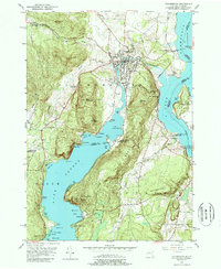
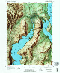
1950 Map of Ticonderoga
USGS Topo · Published 1988About this map
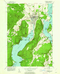
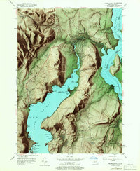
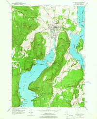
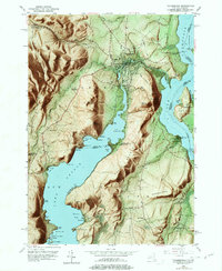
Fort Ticonderoga and the adjacent Ruins stand at the strategic narrows where La Chute connects Lake George to Lake Champlain. This mid-century survey reveals a landscape deeply influenced by its military history and topographic constraints, with the village of Ticonderoga clustered near the falls of the river. The corridor between the lakes is defined by the Delaware and Hudson railroad and the presence of several landmarks like Mt Defiance and Mount Independence across the state line in Vermont. To the south and west, the terrain rises sharply into the mountains, where small settlements like Lower Chilson and its Lower Chilson Sch sit among the ridges. Along the northern reaches of Lake George, the shoreline is dotted with recreational and commemorative sites, from the Log Chapel and Indian Kettles to the family-named landings and points that mark the transition from industrial waterway to summer retreat.
Find a feature on this map
81 named features on this map. Tap any name to fly to it.
Don’t see what you’re looking for? This feature index may not catch every label — zoom into the map to look around manually.
Map Details
Editions of this 1950 Ticonderoga Map
9 editions found
Other maps of this area

1893 · Whitehall
USGS Topo · 1:62,500

1894 · Ticonderoga
USGS Topo · 1:62,500

1895 · Whitehall
USGS Topo · 1:62,500

1895 · Paradox Lake
USGS Topo · 1:62,500

1896 · Ticonderoga
USGS Topo · 1:62,500

1897 · Bolton
USGS Topo · 1:62,500

1897 · Paradox Lake
USGS Topo · 1:62,500

1898 · Whitehall
USGS Topo · 1:62,500

1900 · Bolton
USGS Topo · 1:62,500

1902 · Whitehall
USGS Topo · 1:62,500