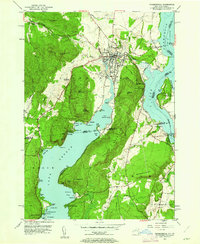
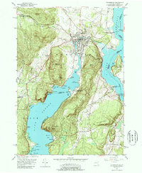
1950 Map of Ticonderoga
USGS Topo · Published 1962About this map
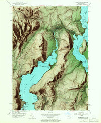
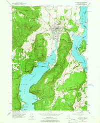
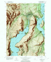
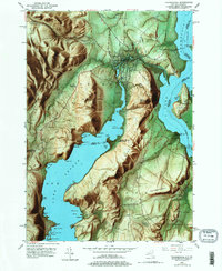
Fort Ticonderoga and Mt Hope Fort anchor the northern landscape of this mid-century survey, where the waters of Lake Champlain meet Ticonderoga Creek. The terrain is defined by the steep rises of Mt Defiance and South Mountain, overlooking the narrow passage between New York and Vermont. To the south, the clear waters of Lake George are dotted with landmarks such as Friends Point and Waltonian Island, while the western hills are marked by the industrial activity of a Quarry and the Lower Chilson Sch.
Find a feature on this map
83 named features on this map. Tap any name to fly to it.
Don’t see what you’re looking for? This feature index may not catch every label — zoom into the map to look around manually.
Map Details
Editions of this 1950 Ticonderoga Map
9 editions found
Other maps of this area

1893 · Whitehall
USGS Topo · 1:62,500

1894 · Ticonderoga
USGS Topo · 1:62,500

1895 · Whitehall
USGS Topo · 1:62,500

1895 · Paradox Lake
USGS Topo · 1:62,500

1896 · Ticonderoga
USGS Topo · 1:62,500

1897 · Bolton
USGS Topo · 1:62,500

1897 · Paradox Lake
USGS Topo · 1:62,500

1898 · Whitehall
USGS Topo · 1:62,500

1900 · Bolton
USGS Topo · 1:62,500

1902 · Whitehall
USGS Topo · 1:62,500