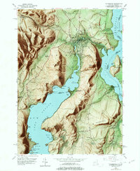
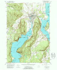
1950 Map of Ticonderoga
USGS Topo · Published 1977About this map
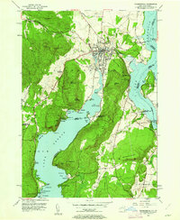
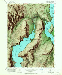
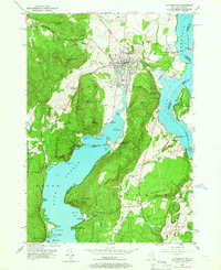
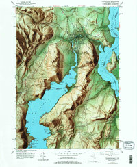
La Chute flows through the heart of this landscape, connecting the waters of Lake George to Lake Champlain. The terrain is dominated by significant elevations such as Bear Mountain and Mt Defiance, overlooking the historic corridor of the Delaware and Hudson railroad. This 1950s era survey documents the strategic geography between the lake systems, where the ruins of Fort Ticonderoga and the nearby Mount Independence stand as remnants of early military history. The map records several small communities and rural landmarks, including the Lower Chilson Sch, the Log Chapel, and the Valley View Ch. Waterways like Trout Brook and Sucker Brook drain the wooded uplands, while the shoreline is dotted with named points such as Friends Point and Juniper Island. The distribution of cemeteries like St Marys Cem and Mt Hope Cem provides valuable data for genealogical research in this junction of Essex, Washington, and Addison counties.
Find a feature on this map
80 named features on this map. Tap any name to fly to it.
Don’t see what you’re looking for? This feature index may not catch every label — zoom into the map to look around manually.
Map Details
Editions of this 1950 Ticonderoga Map
9 editions found
Other maps of this area

1893 · Whitehall
USGS Topo · 1:62,500

1894 · Ticonderoga
USGS Topo · 1:62,500

1895 · Whitehall
USGS Topo · 1:62,500

1895 · Paradox Lake
USGS Topo · 1:62,500

1896 · Ticonderoga
USGS Topo · 1:62,500

1897 · Bolton
USGS Topo · 1:62,500

1897 · Paradox Lake
USGS Topo · 1:62,500

1898 · Whitehall
USGS Topo · 1:62,500

1900 · Bolton
USGS Topo · 1:62,500

1902 · Whitehall
USGS Topo · 1:62,500