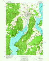
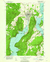
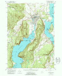
1950 Map of Ticonderoga
USGS Topo · Published 1966About this map
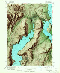
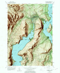
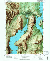
Fort Ticonderoga and the surrounding heights overlook the narrow strategic waters where Champlain meets the northern reaches of Lake George. This mid-century survey captures the region's complex topography, from the steep cliffs of Rogers Slide to the prominent elevations of Mt Defiance and Mount Independence across the Vermont border. The landscape is defined by the transition between these two great lakes, linked by the winding course of Ticonderoga Creek as it passes through the town center.
Find a feature on this map
79 named features on this map. Tap any name to fly to it.
Don’t see what you’re looking for? This feature index may not catch every label — zoom into the map to look around manually.
Map Details
Editions of this 1950 Ticonderoga Map
9 editions found
Other maps of this area

1893 · Whitehall
USGS Topo · 1:62,500

1894 · Ticonderoga
USGS Topo · 1:62,500

1895 · Whitehall
USGS Topo · 1:62,500

1895 · Paradox Lake
USGS Topo · 1:62,500

1896 · Ticonderoga
USGS Topo · 1:62,500

1897 · Bolton
USGS Topo · 1:62,500

1897 · Paradox Lake
USGS Topo · 1:62,500

1898 · Whitehall
USGS Topo · 1:62,500

1900 · Bolton
USGS Topo · 1:62,500

1902 · Whitehall
USGS Topo · 1:62,500