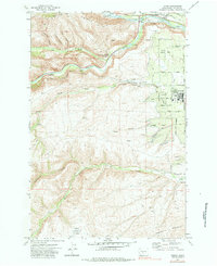
1971 Map of Tieton
USGS Topo · Published 1984About this map
The town of Tieton and the surrounding Yakima County landscape are defined by an intricate network of irrigation and water management in this early 1970s survey. The confluence of the Naches River and Tieton River dominates the northern sector, supported by a system of conduits including the Wapatox Canal, the Main Canal (Flume), and various Siphons. This hydraulic infrastructure is vital to the region's agricultural character, visible in the transition from the high elevations of Bethel Ridge and Cowiche Mountain down to the orchard-lined valley floor.
Find a feature on this map
43 named features on this map. Tap any name to fly to it.
Don’t see what you’re looking for? This feature index may not catch every label — zoom into the map to look around manually.
Map Details
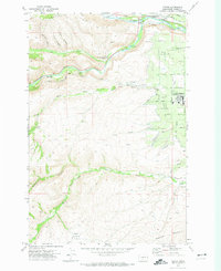
Editions of this 1971 Tieton Map
2 editions found
Other maps of this area

1899 · Ellensburg
USGS Topo · 1:125,000

1901 · Ellensburg
USGS Topo · 1:125,000

1950 · Yakima
USGS Topo · 1:250,000

1958 · Ellensburg
USGS Topo · 1:62,500

1958 · Wiley City
USGS Topo · 1:24,000

1958 · Naches
USGS Topo · 1:24,000

1958 · Yakima
USGS Topo · 1:250,000

1961 · Yakima
USGS Topo · 1:250,000

1971 · Nile
USGS Topo · 1:24,000
1971 · Milk Canyon
USGS Topo · 1:24,000