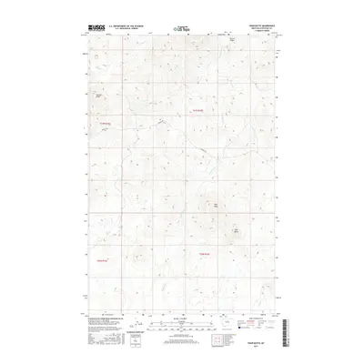
2017 Map of Tiger Butte
USGS Topo · Published 2017About this map
Tiger Butte and the surrounding high ground of Tiger Ridge dominate this section of Chouteau County, where the terrain is defined by a series of prominent elevations and creek drainages. Significant landmarks like Sawmill Butte and Pecora Ridge provide distinct navigational points within this ranching and grazing landscape. The drainage network is particularly dense here, with Eagle Cr and Dog Cr cutting through the northwestern sections, while Little Birch Cr, Connelly Cr, and Birch Cr flow toward the southeast. The solitary presence of Warrick Rd represents the primary human infrastructure, winding through the center of the townships and connecting the disparate drainages. This survey captures a moment of modern land management in a sparsely populated region of Montana, where the names of water sources and buttes remain the most critical identifiers for those working the land.
Find a feature on this map
14 named features on this map. Tap any name to fly to it.
Don’t see what you’re looking for? This feature index may not catch every label — zoom into the map to look around manually.
Map Details
Editions of this 2017 Tiger Butte Map
This is the sole edition of this map. No revisions or reprints were ever made.
Other maps of this area

1953 · Havre
USGS Topo · 1:250,000

1954 · Lewistown
USGS Topo · 1:250,000

1957 · Havre
USGS Topo · 1:250,000

1958 · Havre
USGS Topo · 1:250,000

1959 · Lewistown
USGS Topo · 1:250,000
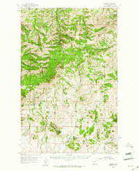
1959 · Warrick
USGS Topo · 1:62,500
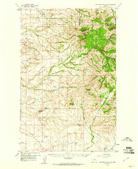
1959 · Centennial Mountain
USGS Topo · 1:62,500
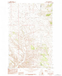
1984 · Eskay NE
USGS Topo · 1:24,000
1984 · Big John Butte
USGS Topo · 1:24,000
1984 · Warrick
USGS Topo · 1:24,000