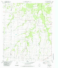
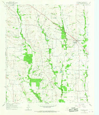
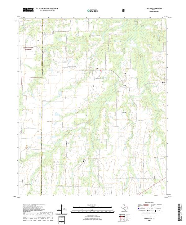
1984 Map of Tigertown
USGS Topo · Published 1985This historical map portrays the area of Tigertown in 1984, primarily covering Lamar County as well as portions of Fannin County. Featuring a scale of 1:24000, this map provides a highly detailed snapshot of the terrain, roads, buildings, counties, and historical landmarks in the Tigertown region at the time. Published in 1985, it is the sole known edition of this map.
Find a feature on this map
19 named features on this map. Tap any name to fly to it.
Don’t see what you’re looking for? This feature index may not catch every label — zoom into the map to look around manually.
Map Details
Editions of this 1984 Tigertown Map
This is the sole edition of this map. No revisions or reprints were ever made.
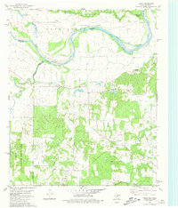
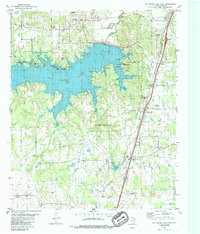
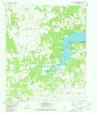
Historical Maps of Fannin County Through Time
18 maps found
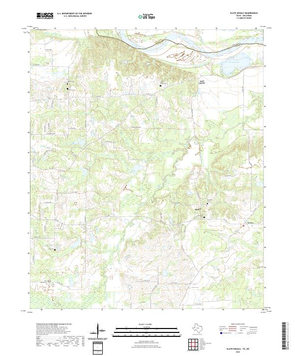
1951 Slate Shoals
Lamar County, TX
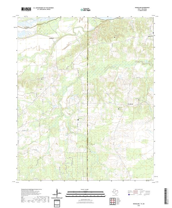
1951 Woodland
Lamar County, TX
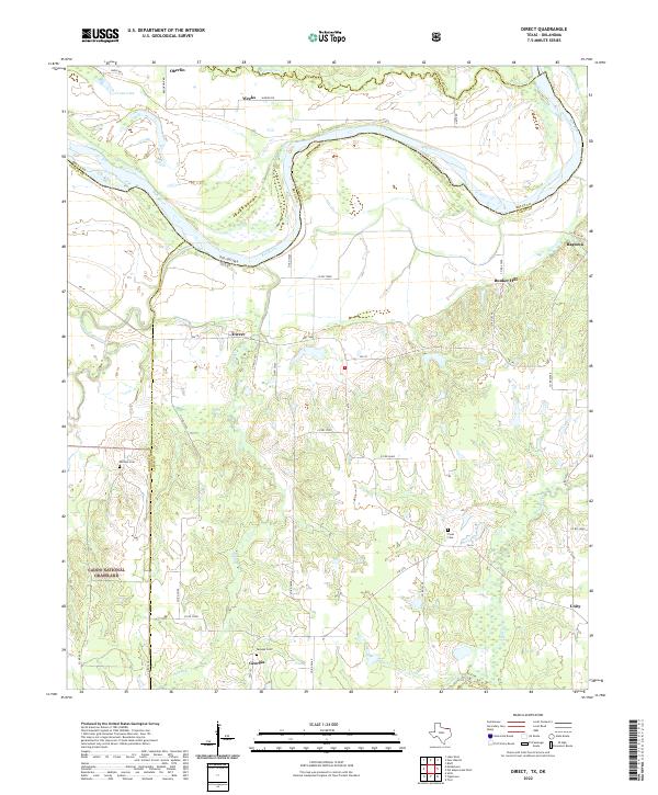
1963 Minter
Lamar County, TX
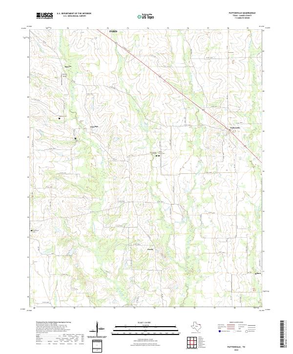
1964 Pattonville
Lamar County, TX
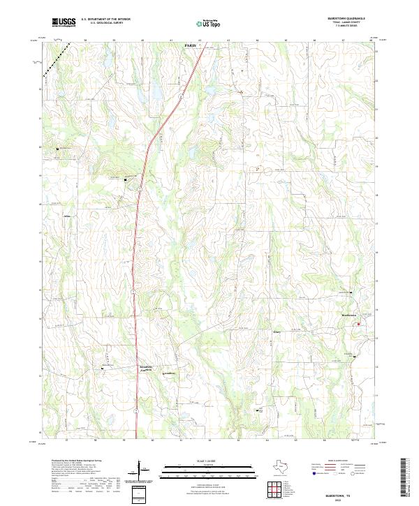
1980 Direct
Lamar County, TX
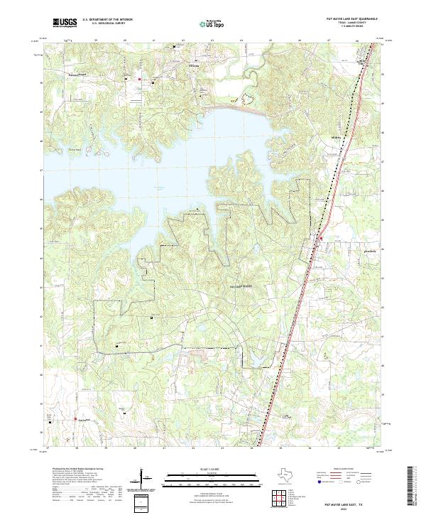
1980 Pat Mayse Lake East
Lamar County, TX
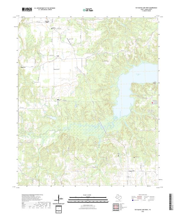
1980 Pat Mayse Lake West
Lamar County, TX
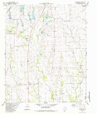
1984 Biardstown
Lamar County, TX
1984 Tigertown
Lamar County, TX
2022 Biardstown
Lamar County, TX
2022 Direct
Lamar County, TX
2022 Minter
Lamar County, TX
2022 Pat Mayse Lake East
Lamar County, TX
2022 Pat Mayse Lake West
Lamar County, TX
2022 Pattonville
Lamar County, TX
2022 Slate Shoals
Lamar County, TX
2022 Tigertown
Lamar County, TX
2022 Woodland
Lamar County, TX