
2017 Map of Tikura
USGS Topo · Published 2017About this map
Picabo Hills dominate the northwest corner of this high-desert Idaho landscape, where the northern edge of the Snake River Plain meets the foothills. The settlement of Tikura sits along the eastern edge of the quadrangle, serving as a primary point of interest for local historians and genealogists tracking the development of Blaine and Lincoln counties. The Blaine Co Lincoln Co boundary line bisects the territory horizontally, marking the shift in jurisdictional oversight across this open range.
Find a feature on this map
14 named features on this map. Tap any name to fly to it.
Don’t see what you’re looking for? This feature index may not catch every label — zoom into the map to look around manually.
Map Details
Editions of this 2017 Tikura Map
This is the sole edition of this map. No revisions or reprints were ever made.
Other maps of this area
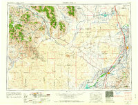
1955 · Idaho Falls
USGS Topo · 1:250,000

1955 · Hailey
USGS Topo · 1:250,000
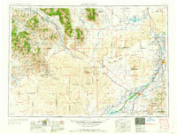
1958 · Idaho Falls
USGS Topo · 1:250,000

1959 · Hailey
USGS Topo · 1:250,000

1962 · Hailey
USGS Topo · 1:250,000
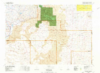
1978 · Craters Of The Moon
USGS Topo · 1:100,000
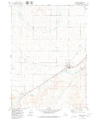
1979 · Richfield
USGS Topo · 1:24,000
1979 · Black Ridge Crater
USGS Topo · 1:24,000
1979 · Tapper Lake
USGS Topo · 1:24,000
1979 · Gannett
USGS Topo · 1:24,000