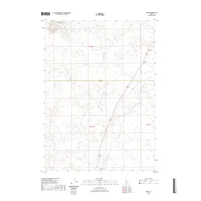
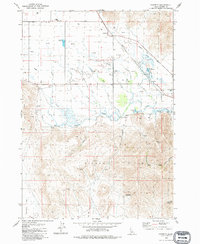
2020 Map of Tikura
USGS Topo · Published 2020About this map
Tikura serves as the primary named settlement on this high-desert landscape where the border between Blaine Co and Lincoln Co cuts across open ranching and grazing land. The geography is defined by the winding course of the Little Wood River and its tributary Silver Cr, which provide vital water sources in an otherwise arid region. To the north, the Picabo Hills rise above the drainage basins, while smaller water features like Pitch Spring dot the terrain. The presence of the Old State Hwy and the lower Old Hwy indicates the historical evolution of travel routes through the area, eventually crossing the river at the Pagari Bridge. This survey highlights a rural Idaho transportation corridor where modern infrastructure follows the legacy of earlier pioneer and ranching trails.
Find a feature on this map
13 named features on this map. Tap any name to fly to it.
Don’t see what you’re looking for? This feature index may not catch every label — zoom into the map to look around manually.
Map Details
Editions of this 2020 Tikura Map
This is the sole edition of this map. No revisions or reprints were ever made.
Other maps of this area

1955 · Idaho Falls
USGS Topo · 1:250,000

1955 · Hailey
USGS Topo · 1:250,000

1958 · Idaho Falls
USGS Topo · 1:250,000

1959 · Hailey
USGS Topo · 1:250,000

1962 · Hailey
USGS Topo · 1:250,000

1978 · Craters Of The Moon
USGS Topo · 1:100,000
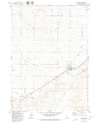
1979 · Richfield
USGS Topo · 1:24,000
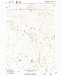
1979 · Black Ridge Crater
USGS Topo · 1:24,000
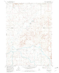
1979 · Tapper Lake
USGS Topo · 1:24,000
1979 · Gannett
USGS Topo · 1:24,000