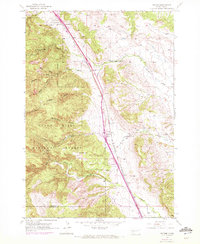
1953 Map of Tilford
USGS Topo · Published 1972About this map
Black Hills National Cemetery sits at the northern edge of this landscape, positioned where the hills meet the plains near the Fort Meade Military Boundary. The geography is defined by a dense network of gulches—including Breakneck Gulch, Syndicate Gulch, and Beaver Gulch—that drain from the Black Hills National Forest toward the lower valleys. The settlement of Tilford serves as a central point along the Chicago and North Western railroad line, which parallels the path of modern routes like 90.
Find a feature on this map
24 named features on this map. Tap any name to fly to it.
Don’t see what you’re looking for? This feature index may not catch every label — zoom into the map to look around manually.
Map Details
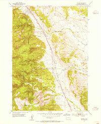
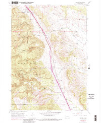
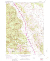
Editions of this 1953 Tilford Map
4 editions found
Other maps of this area

1893 · Rapid
USGS Topo · 1:125,000

1894 · Deadwood
USGS Topo · 1:125,000

1898 · Rapid
USGS Topo · 1:125,000

1899 · Sturgis
USGS Topo · 1:62,500

1901 · Deadwood
USGS Topo · 1:125,000

1903 · Rapid
USGS Topo · 1:125,000

1915 · Sturgis
USGS Topo · 1:62,500

1916 · Deadwood
USGS Topo · 1:125,000

1953 · Blackhawk
USGS Topo · 1:24,000

1953 · Piedmont
USGS Topo · 1:24,000