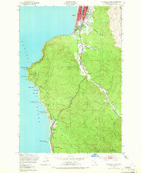
1949 Map of Tillamook Head
USGS Topo · Published 1955About this map
Seaside serves as the northern anchor for this coastal survey, where the Necanicum River and Neawanna Creek converge before reaching the Pacific Ocean. The landscape transitions from the urban blocks of the city, including Central Sch, into the densely forested slopes of Tillamook Head. This prominent headland separates the busier resort areas from the more secluded shoreline of Ecola State Park, where trails wind past Indian Point and Bald Point.
Find a feature on this map
35 named features on this map. Tap any name to fly to it.
Don’t see what you’re looking for? This feature index may not catch every label — zoom into the map to look around manually.
Map Details
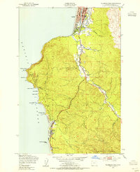
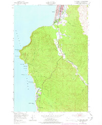
Editions of this 1949 Tillamook Head Map
3 editions found
Other maps of this area
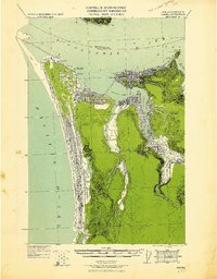
1919 · Astoria
USGS Topo · 1:62,500
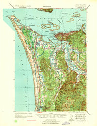
1939 · Astoria
USGS Topo · 1:62,500
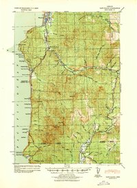
1940 · Cape Falcon
USGS Topo · 1:62,500
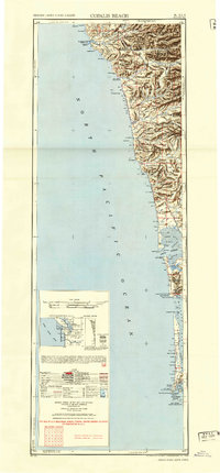
1943 · Copalis Beach
USGS Topo · 1:250,000

1948 · Vancouver
USGS Topo · 1:250,000
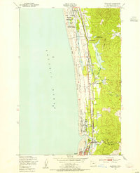
1949 · Gearhart
USGS Topo · 1:24,000
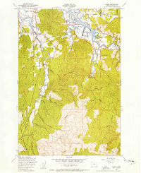
1949 · Olney
USGS Topo · 1:24,000

1950 · Vancouver
USGS Topo · 1:250,000

1950 · Vancouver
USGS Topo · 1:250,000
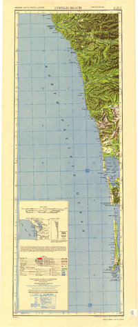
1951 · Copalis Beach
USGS Topo · 1:250,000