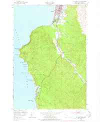
1949 Map of Tillamook Head
USGS Topo · Published 1978About this map
Tillamook Head dominates the rugged Pacific coastline in this 1949 survey, marking the dramatic topography between the growing resort towns of Seaside and Cannon Beach. The landscape reveals a transition from coastal recreation to inland forest management, with an Old Railroad Grade winding through the valley near Circle Creek, signaling the area's timber history. Along the shore, Ecola State Park preserves the headlands, including Indian Beach and Bald Point, while the southern reaches show the residential developments of Tolovana Park near the iconic Haystack Rock. Inland, the drainage systems of the Necanicum River and Neawanna Creek shape the lowlands, supporting infrastructure like the Central Sch and a local Cem. The 1973 purple revisions highlight the expansion of the Oregon Coast Highway and the evolving footprint of Cannon Beach Junction.
Find a feature on this map
34 named features on this map. Tap any name to fly to it.
Don’t see what you’re looking for? This feature index may not catch every label — zoom into the map to look around manually.
Map Details
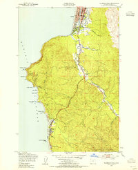
Editions of this 1949 Tillamook Head Map
3 editions found
Other maps of this area

1919 · Astoria
USGS Topo · 1:62,500

1939 · Astoria
USGS Topo · 1:62,500

1940 · Cape Falcon
USGS Topo · 1:62,500

1943 · Copalis Beach
USGS Topo · 1:250,000

1948 · Vancouver
USGS Topo · 1:250,000

1949 · Tillamook Head
USGS Topo · 1:24,000

1949 · Gearhart
USGS Topo · 1:24,000
1949 · Olney
USGS Topo · 1:24,000

1950 · Vancouver
USGS Topo · 1:250,000

1950 · Vancouver
USGS Topo · 1:250,000